Lengefeld, human settlement in Germany
Location: Korbach
Elevation above the sea: 386 m
GPS coordinates: 51.26760,8.83212
Latest update: April 22, 2025 21:15

Korbacher Spalte
3.4 km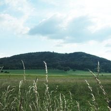
Eisenberg
1.9 km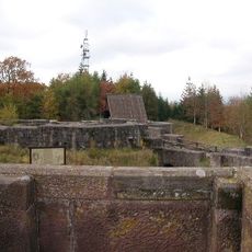
Eisenberg castle ruins
1.9 km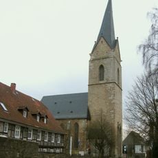
St. Nikolai
2.8 km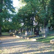
Jüdischer Friedhof Korbach
3.3 km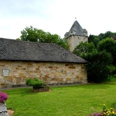
Burg Nordenbeck
3.1 km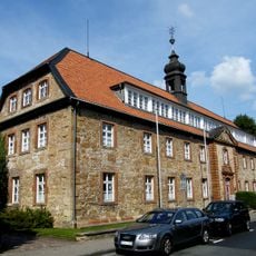
Franziskanerkloster Korbach
2.9 km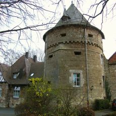
Wollweberturm
2.7 km
Oberer Herrenhof
2.7 km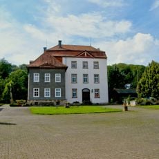
Wasserburg Lengefeld
102 m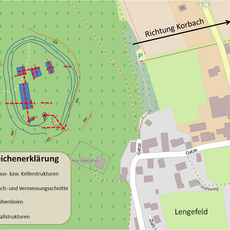
Ringwall Hünenkeller
524 m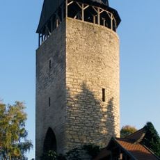
Tylenturm
2.6 km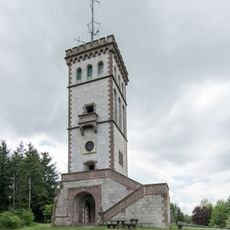
Georg-Viktor-Tower
1.9 km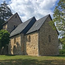
St. Thomas (Rhena)
3.7 km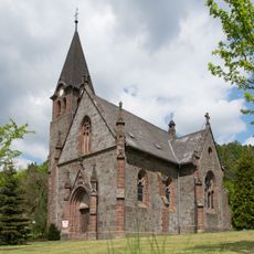
Louis-Peter-Kirche
4.7 km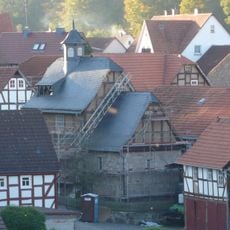
Evangelische Kirche Dorfitter
5.3 km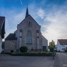
Evangelische Kirche Eppe
5.5 km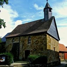
Protestant Church
45 m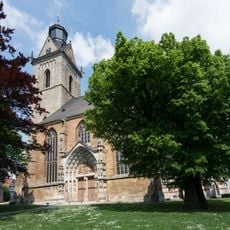
Linden Kilianskirche 1
2.9 km
Marbeckhänge
3.1 km
Linden Kilianskirche 2
2.9 km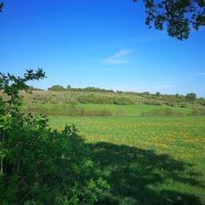
Magerrasen bei Korbach und Dorfitter
3.7 km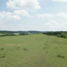
Schanzenberg bei Korbach
3.7 km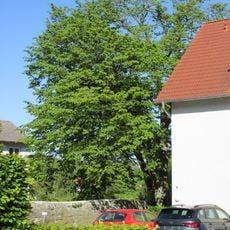
Hainbuche Südwall
2.8 km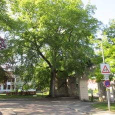
Buche Enser Tor
2.8 km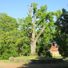
Linde Freilichtbühne
2.7 km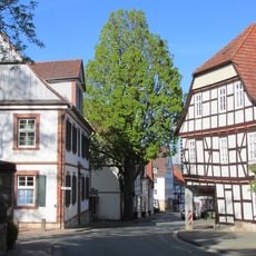
Steineiche Lengefelder Straße
2.6 km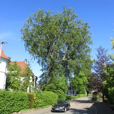
Buche Südwall
2.9 kmVisited this place? Tap the stars to rate it and share your experience / photos with the community! Try now! You can cancel it anytime.
Discover hidden gems everywhere you go!
From secret cafés to breathtaking viewpoints, skip the crowded tourist spots and find places that match your style. Our app makes it easy with voice search, smart filtering, route optimization, and insider tips from travelers worldwide. Download now for the complete mobile experience.

A unique approach to discovering new places❞
— Le Figaro
All the places worth exploring❞
— France Info
A tailor-made excursion in just a few clicks❞
— 20 Minutes