
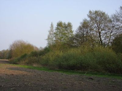
Obere Ihleniederung, nature reserve in Lower Saxony, Germany
Location: Ritterhude
Inception: 1988
GPS coordinates: 53.18390,8.72735
Latest update: March 8, 2025 08:22
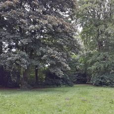
Friedehorst Park
3.7 km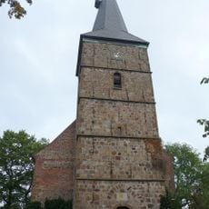
St.-Martini-Kirche (Bremen-Lesum)
3 km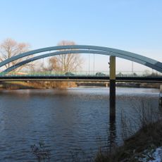
Lesumbrücke
3.4 km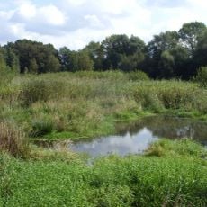
Ruschdahlmoor
1.9 km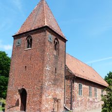
Kirche Wasserhorst
2.4 km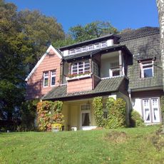
Haus Mindeströmmen
3.9 km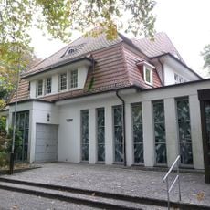
St. Peter und Paul (Bremen)
3.9 km
Gräfin-Emma-Denkmal
3 km
Bremen-Burg railway bridge
3.3 km
Heerweger Moor und Quellbereiche der Ritterhuder Beeke
1.2 km
Haus Tannenberg
3.6 km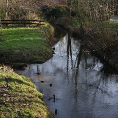
Schönebecker Aue
4 km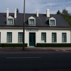
Lesumer Apotheke
3.1 km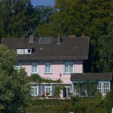
Haus Lichtenegg
3.9 km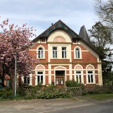
Cultural heritage monuments in Blockland
2.4 km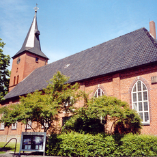
St. Johanneskirche (Ritterhude)
1.8 km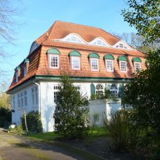
Villa Trost
3.3 km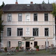
Bäckerei und Gastwirtschaft Hincke
3 km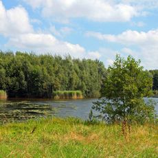
Grambker Feldmarksee
3.2 km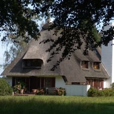
Lehnhofsiedlung, Haus 10
4 km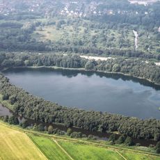
Grambker Feldmarksee
3.3 km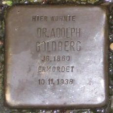
Stolperstein dedicated to Adolph Goldberg
2.4 km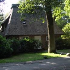
Lehnhofsiedlung, Haus 5
3.9 km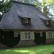
Lehnhofsiedlung, Haus 4
4 km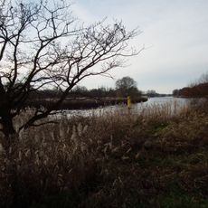
Lesum
3.2 km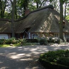
Lehnhofsiedlung, Haus 6
3.9 km
Schönebecker Aue
4 km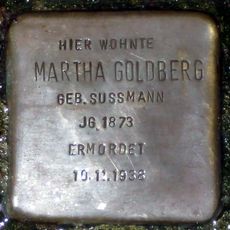
Stolperstein dedicated to Martha Goldberg
2.4 kmReviews
Visited this place? Tap the stars to rate it and share your experience / photos with the community! Try now! You can cancel it anytime.
Discover hidden gems everywhere you go!
From secret cafés to breathtaking viewpoints, skip the crowded tourist spots and find places that match your style. Our app makes it easy with voice search, smart filtering, route optimization, and insider tips from travelers worldwide. Download now for the complete mobile experience.

A unique approach to discovering new places❞
— Le Figaro
All the places worth exploring❞
— France Info
A tailor-made excursion in just a few clicks❞
— 20 Minutes