
Wörsdorf, municipal district of Idstein in Rheingau-Taunus-Kreis, Germany
Location: Idstein
Elevation above the sea: 244 m
GPS coordinates: 50.24600,8.25595
Latest update: March 3, 2025 20:48
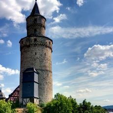
Hexenturm
2.8 km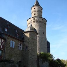
Idstein Castle
2.8 km
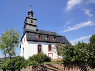
St. Nikolaus von Flüe, Wörsdorf
438 m
Baugewerkschule Idstein
2.9 km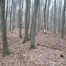
Ringwallanlage Nack
2.1 km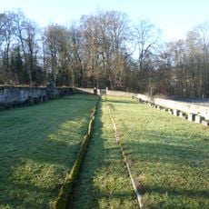
Jüdischer Friedhof
2.5 km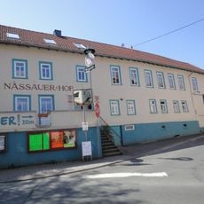
Nassauer Hof
84 m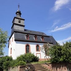
Lukaskirche
40 m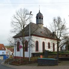
Peterskirche
2.9 km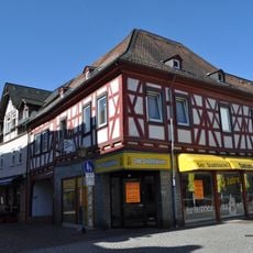
Himmelsgasse 12
2.9 km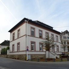
Rathaus Wörsdorf
19 m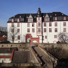
Schloss Idstein
2.7 km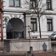
Marktbrunnen
2.9 km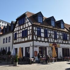
Weiherwiese
2.9 km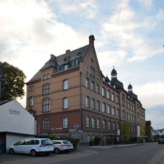
Limburger Straße 2
2.9 km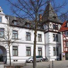
Marktplatz 6
2.8 km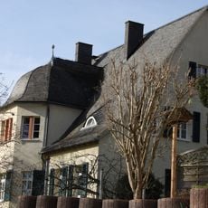
Ehem. Forstmeister-Dienstgehöft
2.7 km
Zum Haingraben 3
2.8 km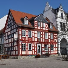
Gasthaus zum Tal
2.9 km
Limburger Straße 34
2.5 km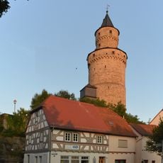
Schulgasse 13
2.8 km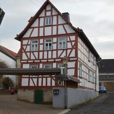
Nebengasse 2
42 m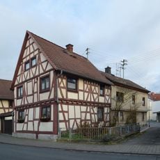
Hauptstraße 6
155 m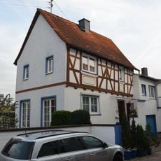
Zum Haingraben 1
2.9 km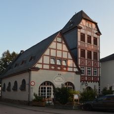
Schulgasse 6
2.8 km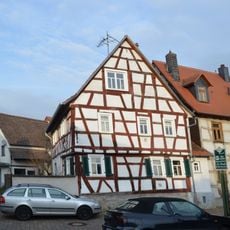
Sackgasse 2
123 m
Hessisches Forstamt Idstein
2.7 km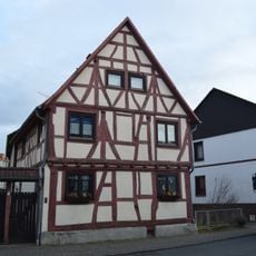
Hauptstraße 4
161 mReviews
Visited this place? Tap the stars to rate it and share your experience / photos with the community! Try now! You can cancel it anytime.
Discover hidden gems everywhere you go!
From secret cafés to breathtaking viewpoints, skip the crowded tourist spots and find places that match your style. Our app makes it easy with voice search, smart filtering, route optimization, and insider tips from travelers worldwide. Download now for the complete mobile experience.

A unique approach to discovering new places❞
— Le Figaro
All the places worth exploring❞
— France Info
A tailor-made excursion in just a few clicks❞
— 20 Minutes