
Richterich, human settlement in Germany
Location: Aachen
Elevation above the sea: 186 m
GPS coordinates: 50.80861,6.06250
Latest update: March 7, 2025 05:44
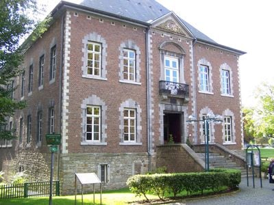
Schloss Schönau
312 m
Haus Heyden
4 km
Untermühle
5.1 km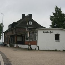
Zollmuseum Friedrichs
5 km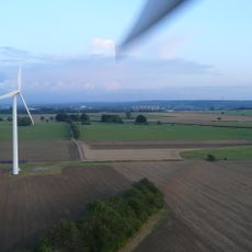
Besucherwindanlage Windfang
3 km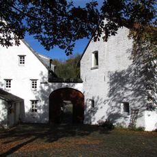
Obermühle
3.6 km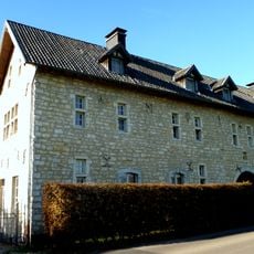
Niersteiner Höfe
1.3 km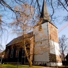
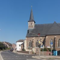
St. Martin
672 m
Hoeve Oberhausen
3.5 km
Franciscanerklooster van Bleijerheide
4.5 km
Uersfelder Höfe
1.6 km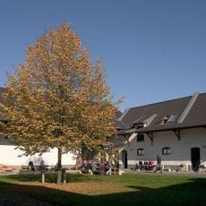
Gut Rosenberg
2.9 km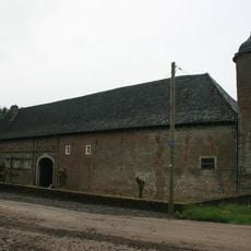
Haus Ober-Frohnrath
4.5 km
St. Heinrich
3 km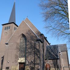
Sint-Antonius van Paduakerk
4.9 km
Pumpenkunst in der Grube Ath
4.1 km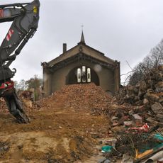
Onze-Lieve-Vrouw van Lourdeskerk
5.3 km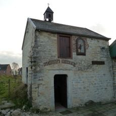
Overhuizen chapel
3.5 km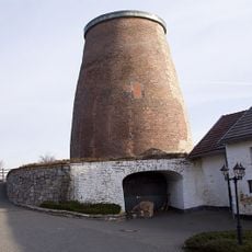
Vetschauer Mühle
2.2 km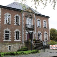
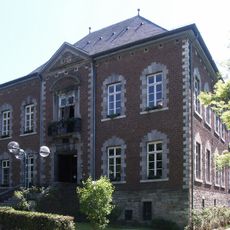
Schloss Schönau
313 m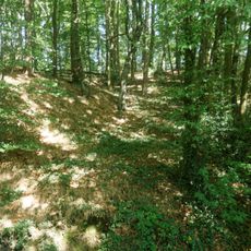
Laub- und Auenwaldgebiet bei Herzogenrath westlich Pannesheide im Amstelbachtal
3.8 km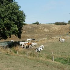
Amstelbach westlich Kohlscheid
2.3 km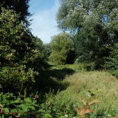
Naturschutzgebiet westlich Bank
2.6 km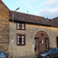
Paumstraat 14, Bocholtz
3.5 km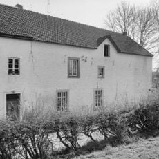
Hoeve Crombach (nr 28)
5.1 km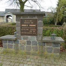
Monument voor Jürgen G. Krohnke
3.5 km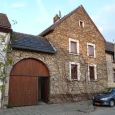
Paumstraat 16, Bocholtz
3.5 km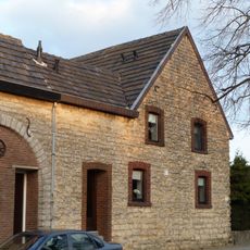
Paumstraat 12, Bocholtz
3.5 kmReviews
Visited this place? Tap the stars to rate it and share your experience / photos with the community! Try now! You can cancel it anytime.
Discover hidden gems everywhere you go!
From secret cafés to breathtaking viewpoints, skip the crowded tourist spots and find places that match your style. Our app makes it easy with voice search, smart filtering, route optimization, and insider tips from travelers worldwide. Download now for the complete mobile experience.

A unique approach to discovering new places❞
— Le Figaro
All the places worth exploring❞
— France Info
A tailor-made excursion in just a few clicks❞
— 20 Minutes