
Winden, municipal district of Weilrod in Hochtaunuskreis, Germany
Location: Weilrod
Elevation above the sea: 220 m
GPS coordinates: 50.38240,8.39139
Latest update: March 4, 2025 22:48

Hühnerküppel
3.4 km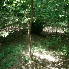
Ringwall Rentmauer
4.5 km
Burg Emmershausen
2.3 km
Jüdischer Friedhof Grävenwiesbach
4.4 km
Kirche Emmershausen
2.3 km
Evangelische Kirche Laubuseschbach
4.3 km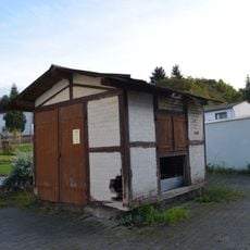
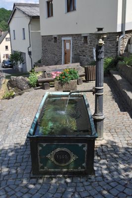
Alte Viehwaage
1.9 km
Evangelische Kirche
4.5 km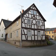
Schulstraße 1
2 km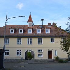
Ehemaliges Gemeindehaus
4.3 km
Evangelische Kirche
4.3 km
Ehemaliges Buderuswerk Audenschmiede
3 km
Altes Rat- und Backhaus
3.4 km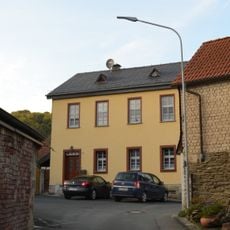
Alte Schule
2 km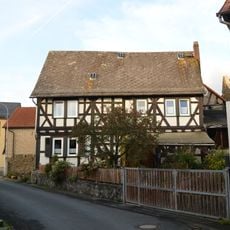
Schulstraße 2
2 km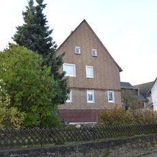
Langgasse 10
2 km
Friedhofskapelle
4.2 km
Kriegerdenkmal 1870/71
4.4 km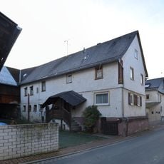
Wedegasse 6
1.9 km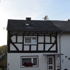
Gäßchen 4
2.1 km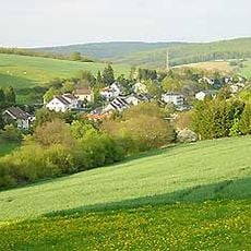
Gesamtanlage Langenbach
2 km
Schönbornscher Hof
4.4 km
Schulstraße 3
2.1 km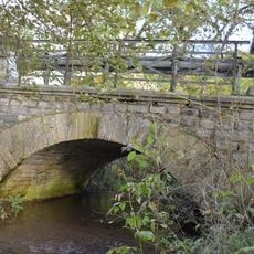
Bleidenbachbrücke
4.4 km
Schultheissenstraße 8
3.5 km
Evangelische Kirche Langenbach
2.1 km
Ehemaliges Verwaltungs- und Speichergebäude
3.1 km
Heideneiche von Wolfenhausen
4.6 kmReviews
Visited this place? Tap the stars to rate it and share your experience / photos with the community! Try now! You can cancel it anytime.
Discover hidden gems everywhere you go!
From secret cafés to breathtaking viewpoints, skip the crowded tourist spots and find places that match your style. Our app makes it easy with voice search, smart filtering, route optimization, and insider tips from travelers worldwide. Download now for the complete mobile experience.

A unique approach to discovering new places❞
— Le Figaro
All the places worth exploring❞
— France Info
A tailor-made excursion in just a few clicks❞
— 20 Minutes