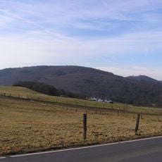
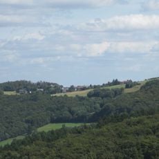
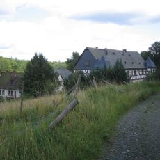
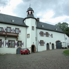
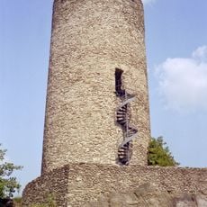
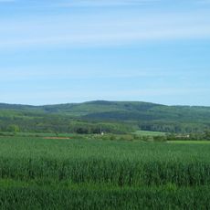
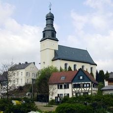
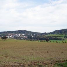
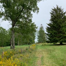
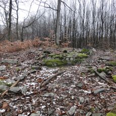
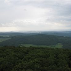
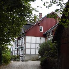
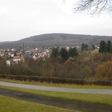
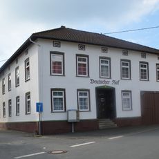
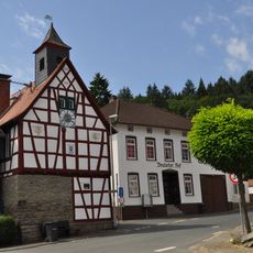
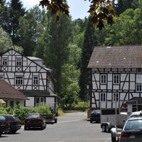
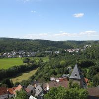
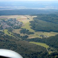
Weilrod, municipality in Hochtaunuskreis in Hesse, Germany
Location: Hochtaunuskreis
Inception: 1972
Elevation above the sea: 434 m
Website: https://weilrod.de
GPS coordinates: 50.34556,8.38271
Latest update: March 7, 2025 00:54
Vogelburg
3.2 km
Pferdskopf
7.2 km
Treisberg
6.7 km
Eichelbacher Hof
3.5 km
Hunoldstal
7.5 km
Neuweilnau Castle
3.5 km
Burg Altweilnau
4.3 km
Kuhbett
4.4 km
Grävenwiesbach station
6.8 km
Saint Margaret of Antioch Church
2.8 km
Koberg
4.6 km
Riedelbacher Heide
4.8 km
Burg Eichelberg
2.8 km
Ziegelhütte
1.2 km
Ringwall Rentmauer
529 m
Burg Emmershausen
2.2 km
Wolfsküppel
5 km
Tenne
7.3 km
Schulgebäude Schulstraße 4 (Haintchen)
4.9 km
Suterkopf
4.5 km
Kirche Wolfenhausen
6.1 km
Stückelberg
4.5 km
Deutscher Hof
6.2 km
Evangelische Kirche Altweilnau
4.3 km
Rathaus Finsternthal
6.2 km
Jüdischer Friedhof Grävenwiesbach
6.7 km
Jüdischer Friedhof
8 km
Evangelische Kirche Steinfischbach
8.4 kmReviews
Visited this place? Tap the stars to rate it and share your experience / photos with the community! Try now! You can cancel it anytime.
Discover hidden gems everywhere you go!
From secret cafés to breathtaking viewpoints, skip the crowded tourist spots and find places that match your style. Our app makes it easy with voice search, smart filtering, route optimization, and insider tips from travelers worldwide. Download now for the complete mobile experience.
A unique approach to discovering new places❞
— Le Figaro
All the places worth exploring❞
— France Info
A tailor-made excursion in just a few clicks❞
— 20 Minutes