Hochtaunuskreis, Administrative district in Hesse, Germany
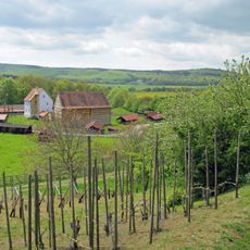
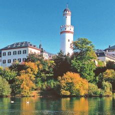
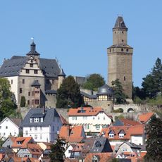
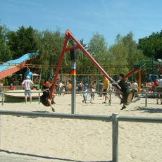
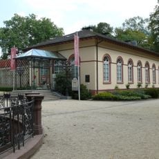
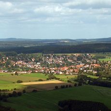
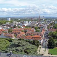
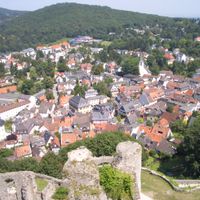
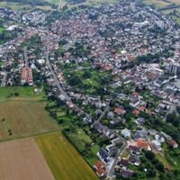
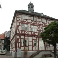
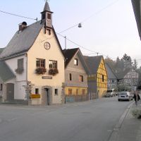
Hochtaunuskreis is a rural district in Hesse, Germany, stretching over wooded hills and river valleys between Frankfurt and the low mountain range. Thirteen municipalities with small towns and villages belong to it, with Bad Homburg serving as the administrative seat housing district offices and government buildings.
The area emerged in 1972 through the merger of the former districts of Obertaunus and Usingen during an administrative reform in Hesse. This reorganization combined several smaller administrative units into a larger one and created the current structure.
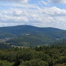
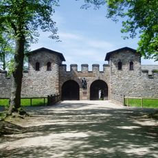
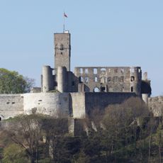
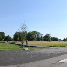
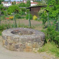
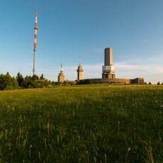
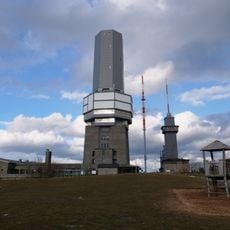
The name derives from the Taunus mountain range, which shapes the landscape and has defined life in the region for centuries. Visitors find traces of Roman frontier structures throughout, once marking the northern edge of the empire and now connected by walking trails.
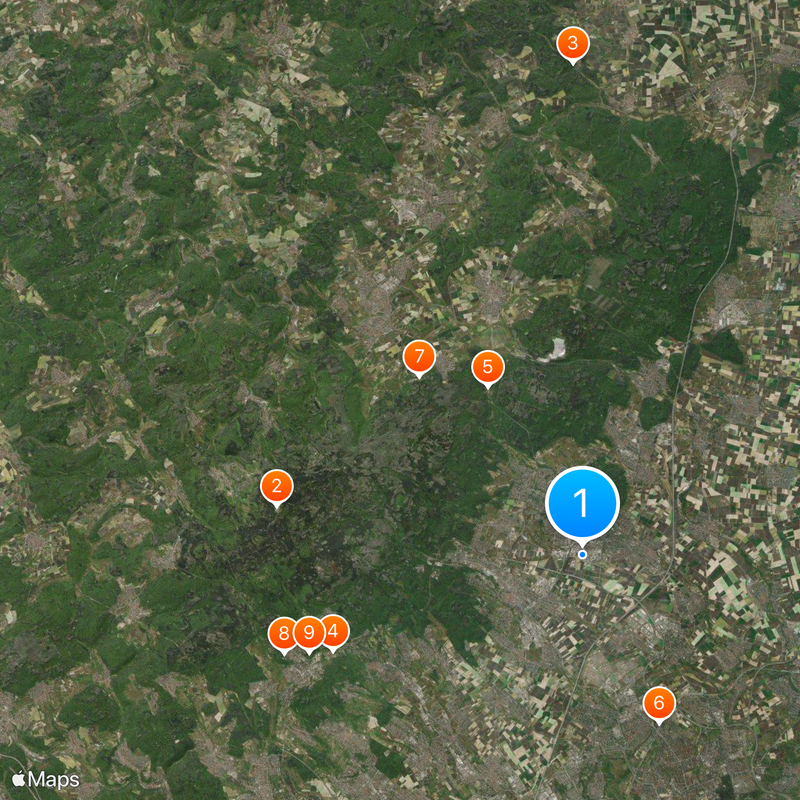
The district lies within the Frankfurt Rhine-Main metropolitan region and offers access to train connections as well as links to Frankfurt Airport. Paths through forests and over hills are suitable for day trips from the city, with parking available at most trailheads.
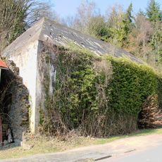
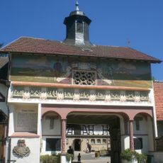
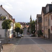
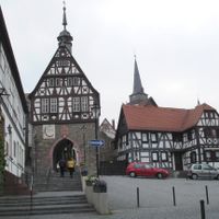
This region ranks among the wealthiest in Germany and stands economically on par with Starnberg near Ammersee. The contrast between rural villages and upscale residential areas shows in the streetscape and in the restored timber-framed houses of many town centers.
The community of curious travelers
AroundUs brings together thousands of curated places, local tips, and hidden gems, enriched daily by 60,000 contributors worldwide.