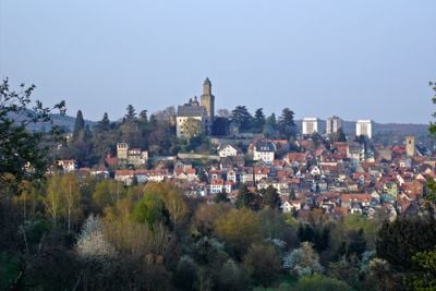
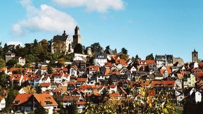
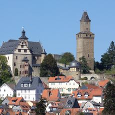
Kronberg im Taunus, Medieval resort town in Hochtaunus, Germany.
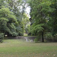
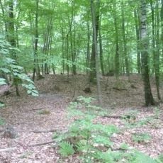
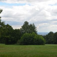
Kronberg im Taunus is a health resort town in Hochtaunuskreis, Hessen, formed by three separate districts called Kronberg, Oberhöchstadt, and Schönberg. The settlement sits on the southern slope of the Taunus range at roughly 820 feet (250 meters) above sea level, with forested hills rising to the north and the land gradually opening toward the Rhine-Main plain to the south.
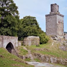
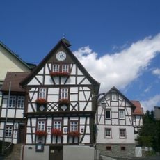
The Knights of Askenburne built the castle around 1220, which became the starting point for the later settlement. In the 14th century the place received town rights and grew into a regional trading center at the foot of the fortress.
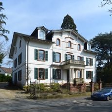
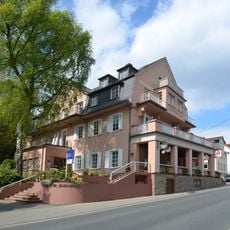
The name Kronberg comes from the castle hill that still defines the skyline and remains visible from most streets in the three districts. Many villa buildings from the painter colony period continue to line the residential streets, reminding visitors of the time when artists chose this town for their summer homes.
The S4 commuter train connects the town directly to Frankfurt, while local bus routes link the three districts with each other and nearby communities. Most paths within each district can be covered on foot, as the centers are laid out compactly.
A mineral spring was first documented in the year 1330 and later contributed to recognition as a health resort. The spring sits at the edge of Schönberg district and remains freely accessible to visitors today.
The community of curious travelers
AroundUs brings together thousands of curated places, local tips, and hidden gems, enriched daily by 60,000 contributors worldwide.