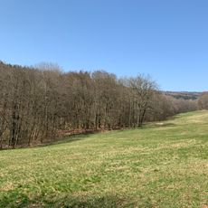
Altkönig, Mountain summit in Taunus range, Hesse, Germany.
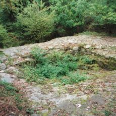
The Altkönig is a 798.2 m high mountain in the Taunus, the third highest peak of the range, whose summit lies in the borough of Kronberg im Taunus. It rises south of and parallel to the main Taunus ridge, with wooded slopes and spurs such as the Döngesberg (689 m) and the Bürgel (446.4 m). On the summit plateau are two Celtic circular ramparts about 980 m and 1390 m long, still visible today.
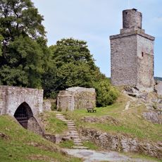
In the La Tène period around 400 BC, Celts settled the Altkönig and built two circular ramparts and annex walls on the summit plateau, about 980 and 1390 metres long and still visible today. No reliable evidence explains when or why the settlement was abandoned. Around 1900 the plateau was treeless, and the white ramparts could be seen with the naked eye from Frankfurt, 18 km away. On the Hünerberg spur, the Hünerberg Circular Rampart is probably an early medieval Frankish earthwork.
The name is documented in changing forms: "ald kune" in 1496, "alten kune" in 1511, "altkünn" and "alt kin" in 1586, and "Altkün" and "Altküng" in 1780. Helmut Bode traces it to the Celtic "alkin" (height), while Erasmus Alberus in 1534 called the mountain the seat of the German king. Since 2004 Inga Dilcher-Hassenstein's sculpture "Der Altkönig" stands in the former Camp King in Oberursel.
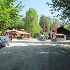
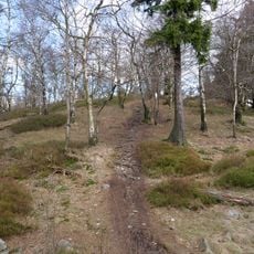
Marked hiking trails connect the mountain to nearby towns Kronberg and Königstein, where ascent routes begin. Parking areas at several trailheads offer flexible starting points for visitors.
A memorial stone marks the location of a plane crash from January 1971 that claimed six lives. Most hikers visiting the summit are unaware of this site, though it remains important to local residents.
The community of curious travelers
AroundUs brings together thousands of curated places, local tips, and hidden gems, enriched daily by 93,150 contributors worldwide.