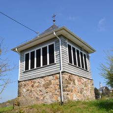
Kleiner Feldberg, Mountain summit in Taunus range, Germany
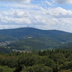
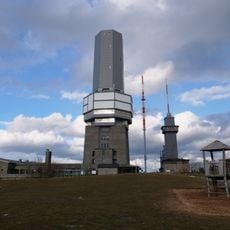
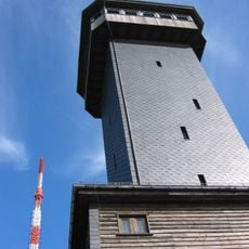
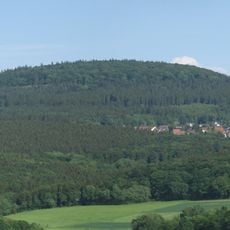
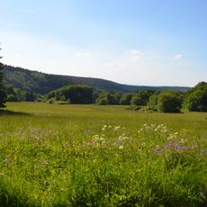
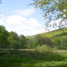
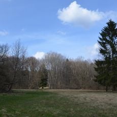
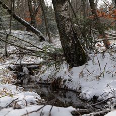
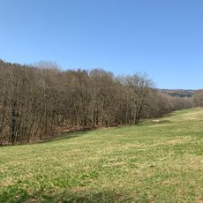
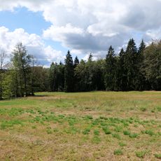
Kleiner Feldberg is a mountain summit in the Taunus range in Hesse, reaching about 825 meters, which makes it one of the tallest points in the area. It is covered by dense beech and mixed forest on all sides, with the terrain dropping steadily toward the surrounding valleys.
The summit was used as a reference point for early surveying work in the 19th century, when cartographers mapped the Taunus region with greater precision. That role in regional mapmaking helped establish its name and position in the landscape long before it became a hiking destination.
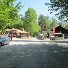
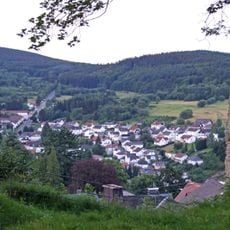
The summit draws day-trippers from Frankfurt and the Rhine-Main area, especially on weekends when the forest trails fill with families and joggers. The area is deeply tied to the local habit of spending free time outdoors in the Taunus hills.
The summit can be reached on foot from several nearby towns, including Oberursel and Königstein, via marked trails that are well signposted. Paths can be slippery after rain, so sturdy footwear is a good idea regardless of the season.
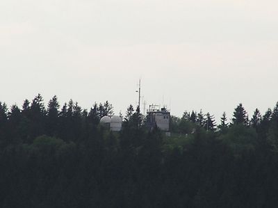
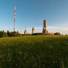
The weather station at the top has been recording data for decades, making it one of the longest-running climate records in the Taunus area. Researchers use this data to track how conditions in this mid-altitude forest zone have changed over time.
The community of curious travelers
AroundUs brings together thousands of curated places, local tips, and hidden gems, enriched daily by 60,000 contributors worldwide.