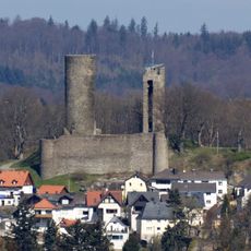
Castra of Glashütten, Ancient Roman military fort in Glashütten, Germany.
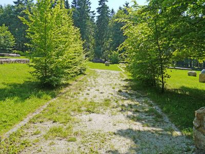
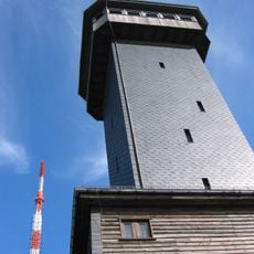
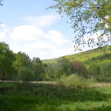
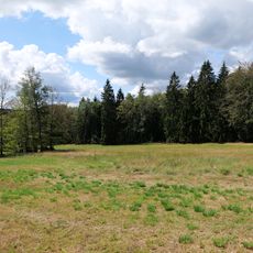
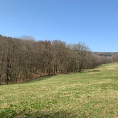
The fort at Glashütten is a Roman military installation located at 729 meters elevation in the area around Schmitten im Taunus, with remains of defensive walls and building foundations visible today. The site demonstrates how Roman engineers constructed and defended positions on challenging terrain.
The fort was established as part of the Limes network and served as a control point during Roman military campaigns in Germanic territories. Its foundation and use were tied to Rome's military presence in northern Europe.
Excavations have uncovered numerous pieces of Samian pottery at this location, revealing how Roman soldiers dined and gathered together here. These artifacts provide insight into the daily life of legionaries and their connection to other parts of the empire.
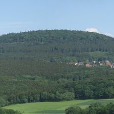
The site can be accessed through marked trails from Glashütten or Schmitten im Taunus, with informational panels at various points explaining the fort and its history. Sturdy footwear is recommended since it is an outdoor archaeological site exposed to weather conditions.
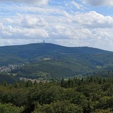
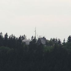
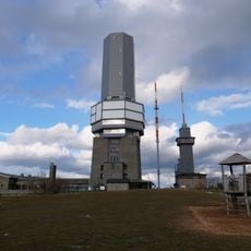
The elevated position of the fort gave Roman soldiers an extensive view across the surrounding region and allowed communication with neighboring military installations. This strategic placement reveals how Romans carefully planned their defensive network.
The community of curious travelers
AroundUs brings together thousands of curated places, local tips, and hidden gems, enriched daily by 60,000 contributors worldwide.