Grävenwiesbach, Rural municipality in Hochtaunuskreis district, Germany
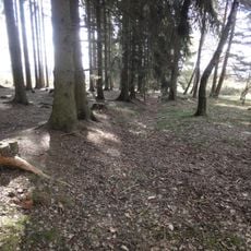
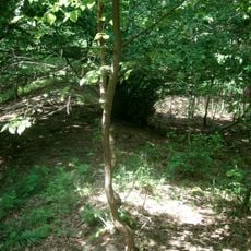
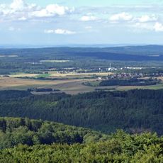
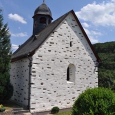
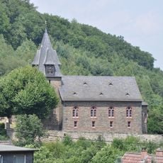
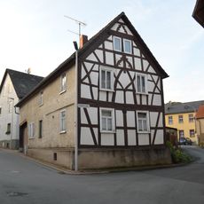
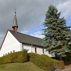
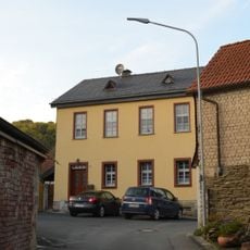
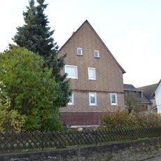
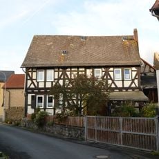
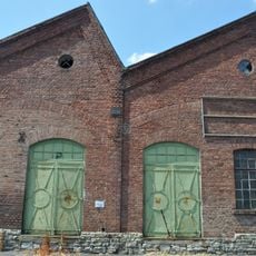
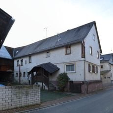
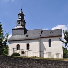
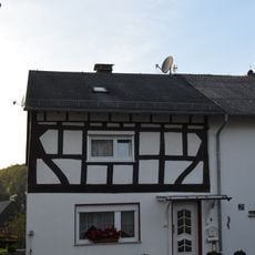
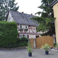
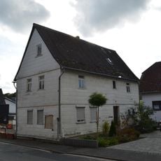
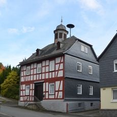
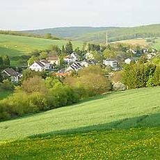
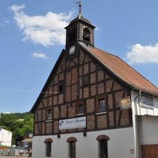
Grävenwiesbach is a rural municipality in Hochtaunuskreis that spreads across a forested landscape in the Taunus region. The area consists of several smaller villages linked by country roads and displays the typical character of a low mountain region.
The settlement received its first written mention in 1280 and underwent a significant shift when it joined the County of Nassau-Weilburg in 1326. This affiliation shaped the community's development over subsequent centuries.
The municipality maintains an active partnership with the French town of Wüntheim in Alsace, visible through regular gatherings and shared events. Visitors can sense this cross-border connection in how the communities collaborate and exchange local traditions.
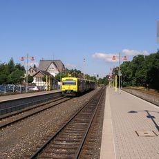
The community sits on the Frankfurt-Weilburg railway line, with the local station providing connections to major regional cities. Visitors arriving by train can access the various districts and surrounding countryside from this transportation point.
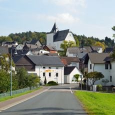
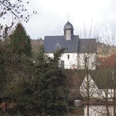
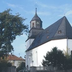
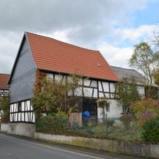
The area comprises six separate villages, each maintaining its own community identity and local characteristics. This decentralized layout allows visitors to explore different rural settings within a single administrative entity.
The community of curious travelers
AroundUs brings together thousands of curated places, local tips, and hidden gems, enriched daily by 60,000 contributors worldwide.