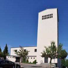
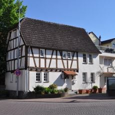
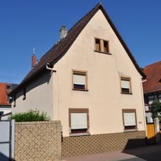
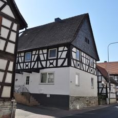
Steinbach, town in Hochtaunuskreis in Hesse, Germany
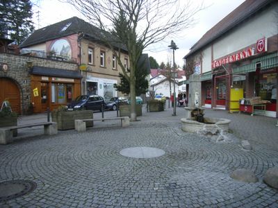
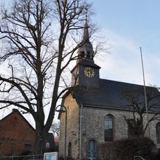
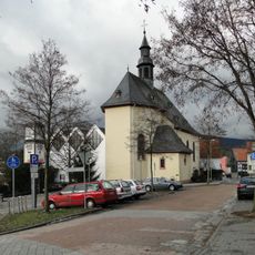
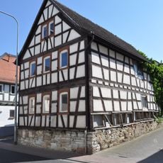
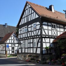
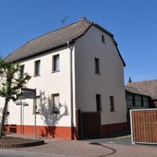
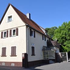
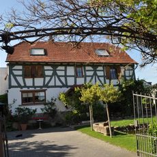
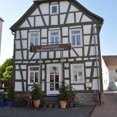
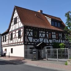
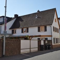
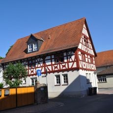
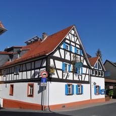
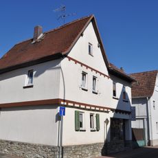
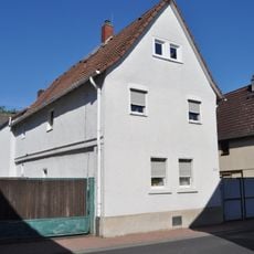
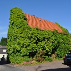
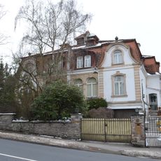
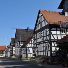
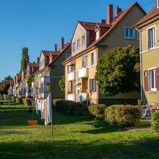
Steinbach is a municipality in the Hochtaunuskreis district, located in the rolling landscape north of Frankfurt. The town comprises several village districts connected by wooded areas and open fields that create the appearance of a typical rural community in Hesse.
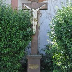
This place grew as a rural settlement in an area long dominated by farming and forestry. Its development into a modern municipality was gradual without major disruptions, leaving the rural structure intact to the present day.
As a rural community, this place offers good conditions for activities like walking through surrounding forests and exploring the countryside. A car is useful for visiting due to the spread-out layout, as public transport options are limited in the area.
Location: Hochtaunuskreis
Elevation above the sea: 170 m
Website: https://stadt-steinbach.de
GPS coordinates: 50.16778,8.57188
Latest update: December 14, 2025 17:01
St. Georg (Steinbach)
72 m
St. Vitus
2.7 km
St. Crutzen
2.3 km
Kirche St. Nikolaus (Niederhöchstadt)
2 km
Hauptstraße 291
2.1 km
Hauptstraße 297
2.1 km
Barockes, zweigeschossiges Wohnhaus
2.1 km
Giebelständiges, verputztes Fachwerkhaus einer ehemaligen Hofreite
2.1 km
Zurückliegendes, traufständiges Wohnhaus auf Bruchsteinsockel
2 km
Hauptstraße 287-289
2.1 km
Sandsteinkreuz mit gefasstem Corpus
2.1 km
Giebelständiges Fachwerkwohnhaus des 17. Jahrhunderts
2.1 km
Rushmoor-Weiher
3.4 km
Verputztes, giebelständiges Fachwerkbauernhaus mit Satteldach
2.1 km
Giebelständiges Fachwerkwohnhaus eines ehemaligen Winkelhofes mit Satteldach
2.1 km
Giebelständiges Fachwerkwohnhaus, 17. Jahrhundert
2.1 km
Giebelständiges Wohnhaus auf erneuertem Bruchsteinsockel
2.1 km
Sandstein mit gefasstem Gusseisen-Corpus
2.1 km
Winkelhofanlage des 17. Jahrhunderts
2 km
Giebelständiges, barockes Wohnhaus eines Zweiseithofe
2.1 km
Giebelständiges, verputztes Fachwerkwohnhaus mit Satteldach
2.1 km
Zweigeschossiges Kleinbauernhaus
2 km
Hauptstraße 293
2.1 km
Oberhoechstadter Str. 41-43
3.2 km
Gesamtanlage Niederhöchstadt
2.1 km
An der Heide 1
3.1 km
Gesamtanlage Bereich Damaschkestraße
3.3 km
Wasserturm
1.2 kmVisited this place? Tap the stars to rate it and share your experience / photos with the community! Try now! You can cancel it anytime.
Discover hidden gems everywhere you go!
From secret cafés to breathtaking viewpoints, skip the crowded tourist spots and find places that match your style. Our app makes it easy with voice search, smart filtering, route optimization, and insider tips from travelers worldwide. Download now for the complete mobile experience.
A unique approach to discovering new places❞
— Le Figaro
All the places worth exploring❞
— France Info
A tailor-made excursion in just a few clicks❞
— 20 Minutes