Mühlenbach Schluchtentour, Circular hiking trail in Saarlouis, Germany.
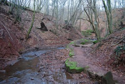
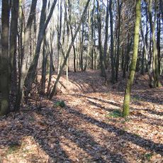
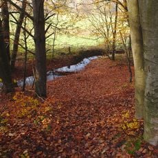
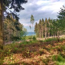
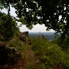
The Mühlenbach Schluchtentour is a circular hiking trail near Saarlouis that passes through mixed landscapes, including forest paths, natural terrain, and paved sections. The route follows a stream through a sandstone gorge with varying elevation changes along the roughly 11 kilometer distance.
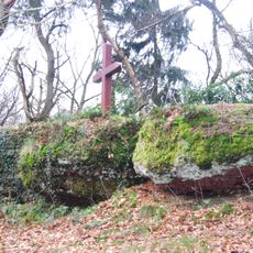
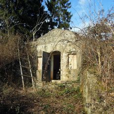
The path passes through areas bearing traces from World War II, including remnants of military fortifications. The region also shows signs of Saarland's industrial past tied to mining, which shaped the area for generations.
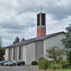
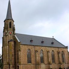
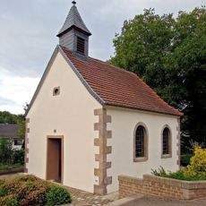
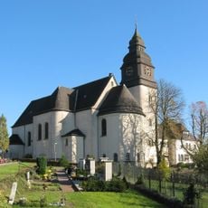
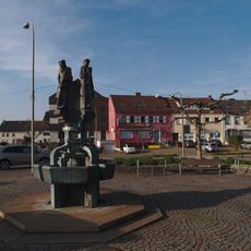
The trail connects local communities and is part of a regional walking network maintained by hiking clubs in the area. Such marked routes reflect how people in Saarland spend their leisure time exploring forests and valleys near their homes.
The trail includes handrails and ladders at steep sections to help with safety during the walk. Sturdy footwear is important as the ground can be slippery depending on the season and terrain changes throughout the route.
The path winds through a deep sandstone gorge carved by the Mühlenbach stream, revealing geological layers along the walls. These formations look different throughout the year as changing seasons bring new vegetation and shifting light that reshapes how the gorge walls appear.
The community of curious travelers
AroundUs brings together thousands of curated places, local tips, and hidden gems, enriched daily by 60,000 contributors worldwide.