Enable Location

We need your location to show you interesting places around you

Discover nearby places

Find interesting locations and hidden gems around you

Precise directions

Get accurate directions and distances to places

Your location is never shared with other users. It's only used when you tap the location button.

Log in to your account

Start exploring — it's free

Trusted by travelers worldwide

Continue with Google
Continue with Apple
or

We will send you a code to connect

By continuing, you accept our Terms and Conditions and our Privacy Policy

Check your inbox

We've sent a pincode in your inbox. Please enter the code below.

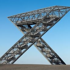
Saarlouis, Administrative district in Saarland, Germany.

Description

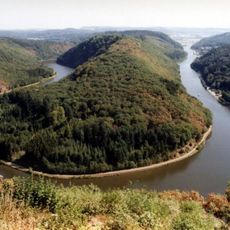
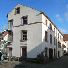
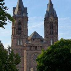
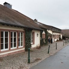
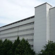
Saarlouis is an administrative district in Saarland that stretches along the Saar River and comprises several municipalities. The region combines urban and rural areas with schools, businesses, and local services serving its communities.

History

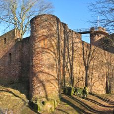
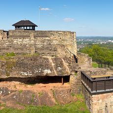
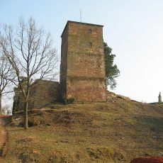
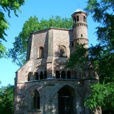
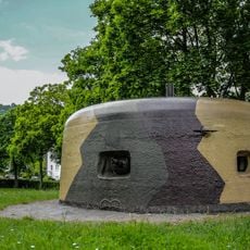
The area was shaped during periods of French control and took its name from the fortress of Saarlouis built in the 17th century. After World War Two, it was reintegrated into the German administrative system and later became the modern district.

Culture

The district coat of arms combines black and white checks representing the Hohenzollern dynasty with the traditional emblem of Lorraine and a star for the fortress.

Practical

The region is easily accessible by car or public transportation, with accommodations and restaurants available in the larger towns. It is helpful to rent a vehicle for exploring the different municipalities, as distances between locations are considerable.

Did you know?

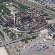
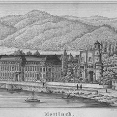
A major inland port near Roden supplies the region with transportation for goods and materials along the Saar River. This port plays an important role in the local economy's logistical networks and connects the region to distant markets.

Location
Capital city
Saarlouis
Elevation above the sea
209 m
Shares border with
Regionalverband Saarbrücken, Neunkirchen, St. Wendel, Merzig-Wadern
GPS coordinates
49.33000,6.75000
Latest update
December 20, 2025 01:10

AroundUs brings together thousands of curated places, local tips, and hidden gems, enriched daily by 60,000 contributors worldwide. Discover all places nearby (Saarland).

« Saarlouis - Administrative district in Saarland, Germany » is provided by Around Us (aroundus.com). Images and texts are derived from Wikimedia project under a Creative Commons license. You are allowed to copy, distribute, and modify copies of this page, under the conditions set by the license, as long as this note is clearly visible.

Discover hidden gems everywhere you go!

From secret cafés to breathtaking viewpoints, skip the crowded tourist spots and find places that match your style. Our app makes it easy with voice search, smart filtering, route optimization, and insider tips from travelers worldwide. Download now for the complete mobile experience.

Around Us App Screenshot

A unique approach to discovering new places

Le Figaro

All the places worth exploring

France Info

A tailor-made excursion in just a few clicks

20 Minutes

Around Us
Travel Guide & Maps
Download

Send to your phone

QR Code
1

Open the camera app on your mobile.

2

Point at the QR code with your camera. A notification will appear.

3

Tap the notification to open the link.