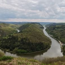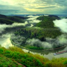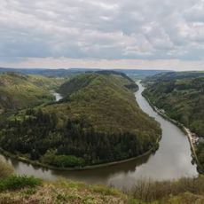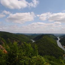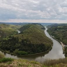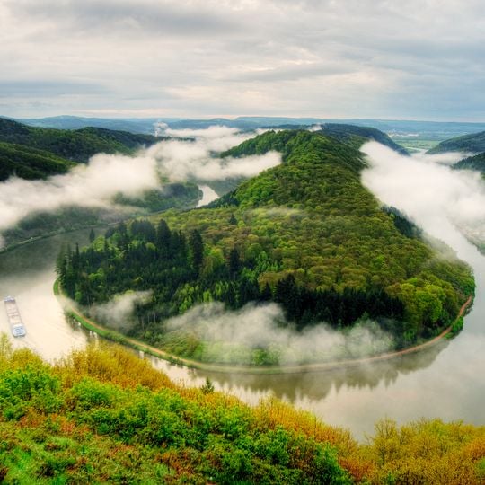
Saarschleife, Natural meander in Mettlach, Germany.
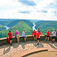
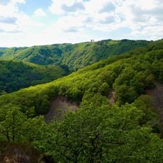
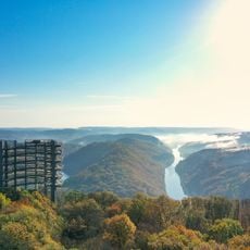
Saarschleife is a water gap where the Saar River cuts through a hard quartzite layer, forming a loop nearly ten kilometers long between Besseringen and Mettlach, although the two places are only about two kilometers apart as the crow flies. The river encircles a wooded spur four kilometers long that rises to 318 meters, while the water surface lies at about 166 meters. Beech forest covers the sandstone remnants, and hornbeam and oak grow on the quartzite.
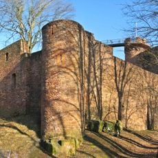
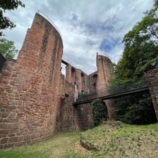
Around 1000 an Ardennes noble family built Skiva Castle on the spur inside the loop; Archbishop Poppo von Babenberg of Trier took and destroyed it in 1016. Arnold I of Trier allowed a new castle, Montclair, completed in 1190 and destroyed in 1351. The von Sierck family built a smaller castle in 1426, ruined after 1620; in 1661 Louis XIV and Archbishop Karl Kaspar von der Leyen agreed it stay ruined. Prussian King Frederick William IV began securing the remains after his first stay in Mettlach in 1835.
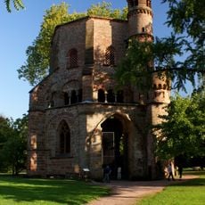
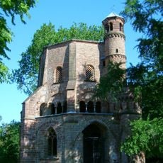
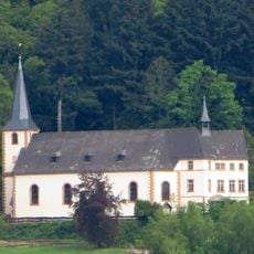
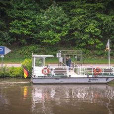
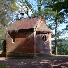
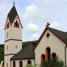
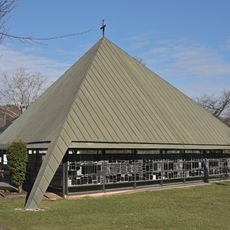
The name Montclair comes from Latin mons clarus, "bright mountain", given to the castle begun in 1180 and finished in 1190. The former monastery church of St. Gangolf and the Montclair ruin stand on the wooded spur inside the loop; the village of Dreisbach, the only settlement directly on the Saarschleife, is reached by ferry.
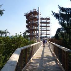
Multiple marked trails lead to observation points positioned 180 meters above the river, offering views across the landscape. Clear weather provides the best visibility, so plan your visit accordingly for optimal sightseeing.
The village of Dreisbach sits within the river loop and is accessible only by ferry, preserving its isolation within the landscape. This small settlement demonstrates how geology can completely cut off a community from the outside world.
The community of curious travelers
AroundUs brings together thousands of curated places, local tips, and hidden gems, enriched daily by 93,087 contributors worldwide.