
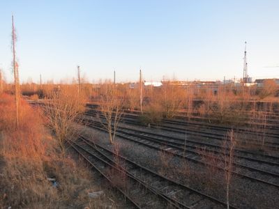
München Ost Rangierbahnhof, classification yard in Munich
Location: Munich
Official opening: 1921
Elevation above the sea: 528 m
GPS coordinates: 48.13389,11.63972
Latest update: March 24, 2025 03:31
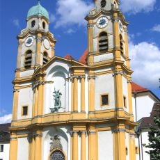
St Michael in Berg am Laim
1.2 km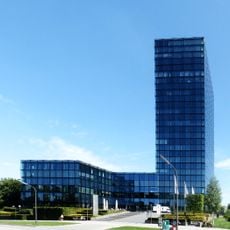
SV-Hochhaus
477 m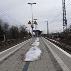
München-Berg am Laim station
504 m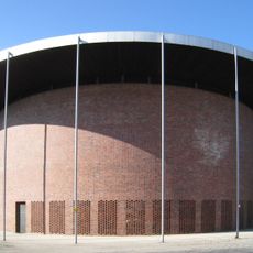
St. Johann von Capistran
1.3 km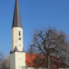
St. Stephan
692 m
Hochbunker
1.5 km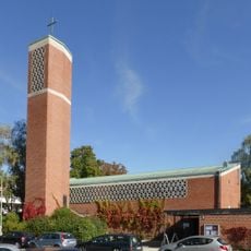
Offenbarungskirche
1 km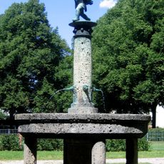
Schüleinbrunnen
739 m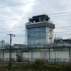
Werkstattgebäude
1.7 km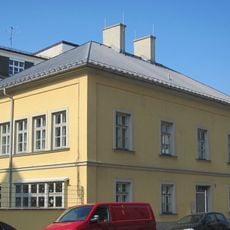
Baumkirchner Straße 9
969 m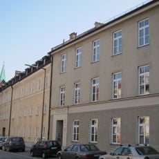
Josephsburgstraße 24
1.1 km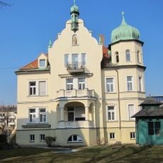
Tomannweg 3
1.5 km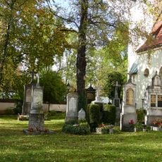
Friedhof Baumkirchen
684 m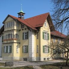
Behrpark
702 m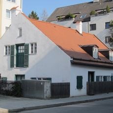
Josephsburgstraße 29
1 km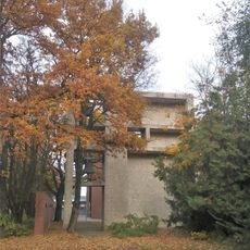
Kirchturm Gotthelfstraße 3; Gotthelfstraße 5 in München
1.3 km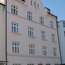
St.-Michael-Straße 4
1.1 km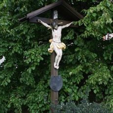
Wegkreuz
1 km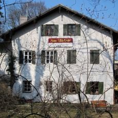
Baumkirchner Straße 1
1.1 km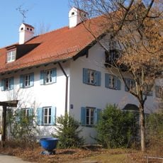
Josephsburgstraße 10
1.1 km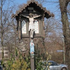
Wegkreuz mit Madonna
1.1 km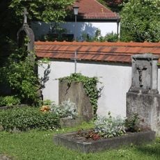
Friedhofsmauer Baumkirchner Straße 45 in München
684 m
Josephsburgstraße 20a
1.2 km
Baumkirchner Straße 5
1 km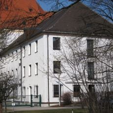
Kloster der Barmherzigen Schwestern
1.2 km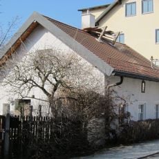
Kleinhaus
1.1 km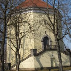
Hochbunker
1.5 km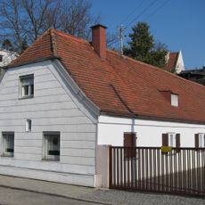
Clemens-August-Straße 3
1.1 kmReviews
Visited this place? Tap the stars to rate it and share your experience / photos with the community! Try now! You can cancel it anytime.
Discover hidden gems everywhere you go!
From secret cafés to breathtaking viewpoints, skip the crowded tourist spots and find places that match your style. Our app makes it easy with voice search, smart filtering, route optimization, and insider tips from travelers worldwide. Download now for the complete mobile experience.

A unique approach to discovering new places❞
— Le Figaro
All the places worth exploring❞
— France Info
A tailor-made excursion in just a few clicks❞
— 20 Minutes