
Niederfeld, human settlement in Germany
Location: Ingolstadt
Location: Ingolstadt Südost
Shares border with: Rothenturm, Gewerbegebiet Südost
GPS coordinates: 48.73400,11.48054
Latest update: March 4, 2025 12:43
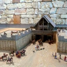
Oppidum of Manching
3.3 km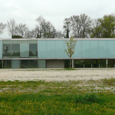
Keltenmuseum Manching
2.6 km
Südfriedhof
4.1 km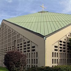
St. Augustin
3.6 km
St. Anton
3.7 km
St. Salvator
2.9 km
Friedenskirche
2.6 km
Ostfriedhof
3.7 km
Donauauen an der Kälberschütt
2.3 km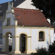
Marienkapelle
3.2 km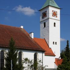
St. Peter
2.2 km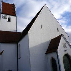
Katholische Filialkirche St. Maria
4 km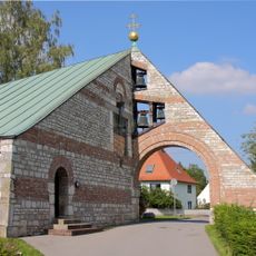
Evangelisch-Lutherische Pfarrkirche, sogenannte Friedenskirche
2.6 km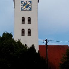
St Bartholomew Church in Oberstimm, Germany
3 km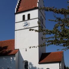
Katholische Filialkirche St. Ignaz
2.2 km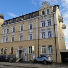
Mietshaus
3.7 km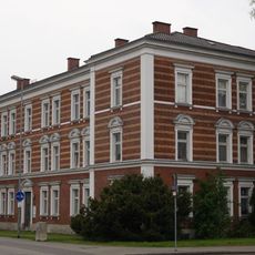
Ehemaliges Eisenbahn-Betriebsamt
3.5 km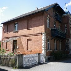
Mietshaus
3.9 km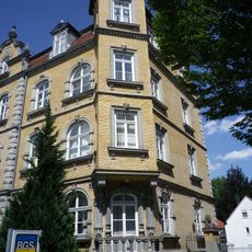
Doppelmietshaus
4.1 km
Lehrerhaus
2.4 km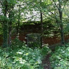
Reste des Forts VIII der Festung Ingolstadt
2.7 km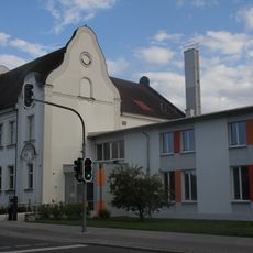
Schule
2.4 km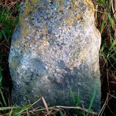
Grenzstein des ehemaligen Pflegamtes Reichertshofen
3.4 km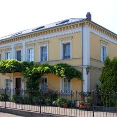
Wohnhaus
2.2 km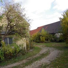
Ehemaliger Dreiseithof, sog. Mesnerbauer
4 km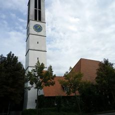
St. Markus
3.9 km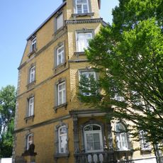
Mietshaus
4.1 km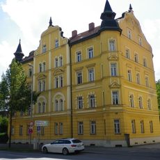
Mietshaus
4.1 kmReviews
Visited this place? Tap the stars to rate it and share your experience / photos with the community! Try now! You can cancel it anytime.
Discover hidden gems everywhere you go!
From secret cafés to breathtaking viewpoints, skip the crowded tourist spots and find places that match your style. Our app makes it easy with voice search, smart filtering, route optimization, and insider tips from travelers worldwide. Download now for the complete mobile experience.

A unique approach to discovering new places❞
— Le Figaro
All the places worth exploring❞
— France Info
A tailor-made excursion in just a few clicks❞
— 20 Minutes