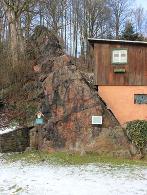
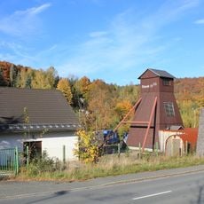
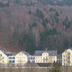
Geotop Roter Kamm, Geological fault in Aue-Bad Schlema, Germany
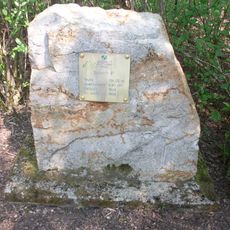
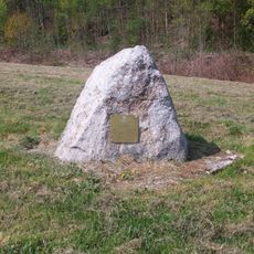
Geotop Roter Kamm is a geological fault that extends over eight kilometers through the Ore Mountains and displays distinctive red-colored rocks. This red coloring results from finely distributed hematite deposits, which give the formation its characteristic appearance.
The geological formation arose approximately 300 million years ago during the Variscan mountain-building event, when the continental plates of Armorica and Laurussia collided. This tectonic collision created the fault zone that brought minerals closer to the surface and later provided the foundation for the region's mining activities.
The site forms part of the UNESCO World Heritage Mining Region Ore Mountains and shapes how locals understand the area's mining past. The red-colored rocks visible today serve as a natural reminder of the minerals that sustained generations of mining communities.
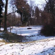
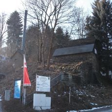
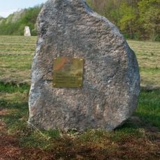
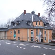
The site is accessible through the Zechenplatz area, where information panels explain the formation's characteristics. The best time to visit is during dry weather, as this allows you to see the rocks and the site's features clearly.
The fault zone extends to depths of 480 meters below the Marx-Semler tunnel level and contains various minerals including quartz, barite, iron, and manganese ores. This considerable depth allows researchers to study mineralization processes and subsurface geological conditions that remain hidden from surface observation.
The community of curious travelers
AroundUs brings together thousands of curated places, local tips, and hidden gems, enriched daily by 60,000 contributors worldwide.