
Nagelfluh-Aufschluss südöstlich von Bad Grönenbach, outcrop in Germany
Location: Bad Grönenbach
Elevation above the sea: 732 m
Length: 40 m
Width: 20 m
GPS coordinates: 47.86999,10.23575
Latest update: March 5, 2025 16:35

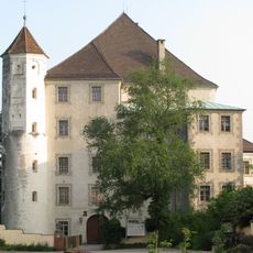
Hohes Schloss
1.6 km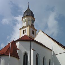
St. Philipp and Jakob (Bad Grönenbach)
1.2 km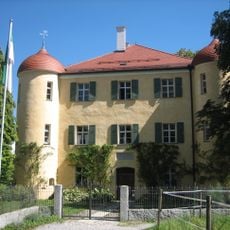
Unteres Schloss (Bad Grönenbach)
1.2 km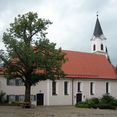
Hospital Church (Bad Grönenbach)
1.2 km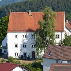
Kollegiatstift Bad Grönenbach
1.2 km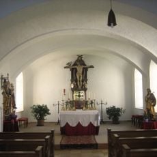
Castle Chappel
1.6 km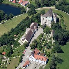
Kreislehrgarten Bad Grönenbach
1.5 km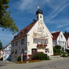
City Hall (Bad Grönenbach)
1.2 km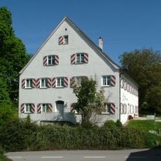
Amtshaus Rothenstein
1.4 km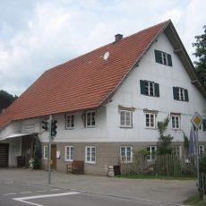
Ehemaliges Bauernhaus
1.2 km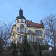
Villa
1.4 km
Ehemaliges Wirtschaftsgebäude und Brauerei des Schlosses
1.5 km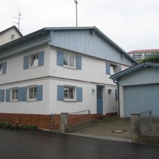
Wohnhaus
993 m
Ehemaliges Bauernhaus
1.3 km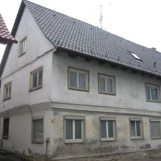
Wohnhaus
1.5 km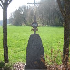
Wegkreuz
237 m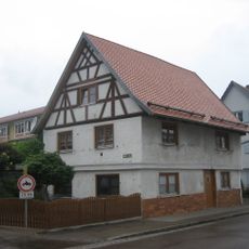
Wohnhaus
1.4 km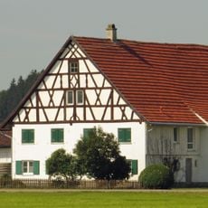
Bauernhaus
781 m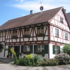
Wohnhaus
1.2 km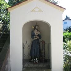
Kerkerheiland
1.2 km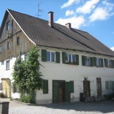
Ehemaliger Heiligenspeicher
1.2 km
Darastgut
1.6 km
Ehemaliges Bauernhaus
1.7 km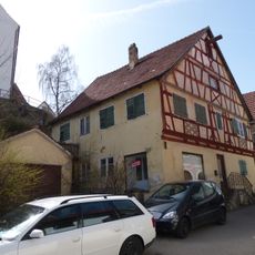
Marktplatz 6 (Bad Grönenbach)
1.2 km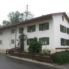
Wohnhaus
948 m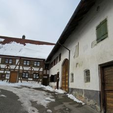
Ehemaliges Bauernhaus
1.3 km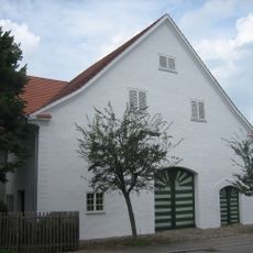
Ehemaliges Bauernhaus
929 m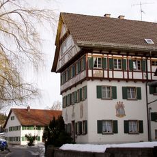
Wohnhaus, Geburtshaus des Bildhauers Ludwig Eberle
1.2 kmReviews
Visited this place? Tap the stars to rate it and share your experience / photos with the community! Try now! You can cancel it anytime.
Discover hidden gems everywhere you go!
From secret cafés to breathtaking viewpoints, skip the crowded tourist spots and find places that match your style. Our app makes it easy with voice search, smart filtering, route optimization, and insider tips from travelers worldwide. Download now for the complete mobile experience.

A unique approach to discovering new places❞
— Le Figaro
All the places worth exploring❞
— France Info
A tailor-made excursion in just a few clicks❞
— 20 Minutes