
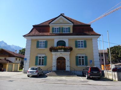
Landratsamt Garmisch-Partenkirchen, church building in Garmisch-Partenkirchen, Upper Bavaria, Germany
Location: Garmisch-Partenkirchen
Address: Olympiastraße 10
GPS coordinates: 47.49336,11.09268
Latest update: April 22, 2025 17:10
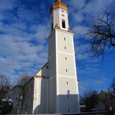
St. Martin
446 m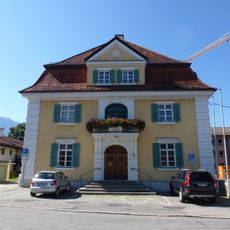
Landratsamt Garmisch-Partenkirchen
76 m
Bankgasse 5
416 m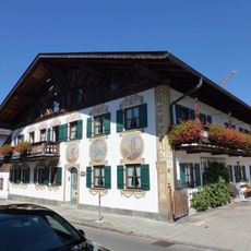
Schmiedstraße 7
341 m
Schmiedstraße 10
363 m
Am Kurpark 18
274 m
Volksschule an der Krankenhausstraße
364 m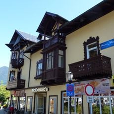
Marienplatz 11
450 m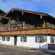
Bankgasse 9
348 m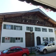
Höllentalstraße 5
314 m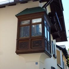
Erker an Am Kurpark 5
138 m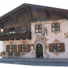
Bundwerk an Klammstraße 12
245 m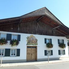
Klammstraße 13
226 m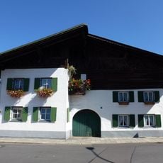
Klammstraße 17, 17a
224 m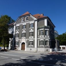
Ehemaliges Finanzamt Garmisch
223 m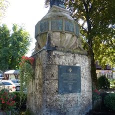
Kriegerdenkmal Garmisch
451 m
Erker an Am Kurpark 15
189 m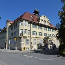
Postamt Garmisch-Partenkirchen
408 m
Ehemaliges Wohn- und Handelshaus''„Zum Weinhaus“''
377 m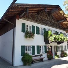
Promenadestraße 6
466 m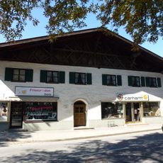
Ehemaliges Bauernhaus
454 m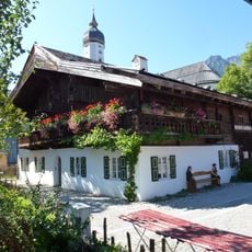
Mohrenplatz 2
389 m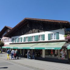
Am Kurpark 6
163 m
Bundwerk an Klammstraße 11
214 m
Mohrenplatz 5
414 m
Schmiedstraße 6
365 m
Marienplatz 4
437 m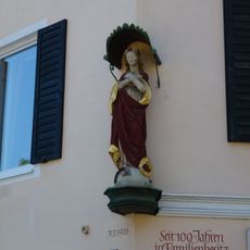
Madonna an Am Kurpark 23
290 mVisited this place? Tap the stars to rate it and share your experience / photos with the community! Try now! You can cancel it anytime.
Discover hidden gems everywhere you go!
From secret cafés to breathtaking viewpoints, skip the crowded tourist spots and find places that match your style. Our app makes it easy with voice search, smart filtering, route optimization, and insider tips from travelers worldwide. Download now for the complete mobile experience.

A unique approach to discovering new places❞
— Le Figaro
All the places worth exploring❞
— France Info
A tailor-made excursion in just a few clicks❞
— 20 Minutes