
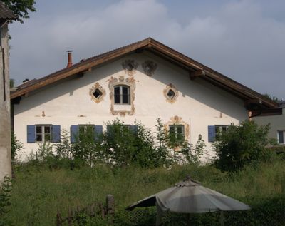
Ehemaliges Bauernhaus, building in Wasserburg am Inn, Upper Bavaria, Germany
Location: Wasserburg am Inn
Address: Kapuzinerweg 4; Kapuzinerweg 4 a
GPS coordinates: 48.05822,12.22927
Latest update: March 3, 2025 02:33
Burg Wasserburg
265 m
Burgkapelle St. Ägidius
287 m
Ehemalige Kapelle St. Michael
276 m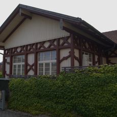
Ehemalige Sommerwirtschaft
59 m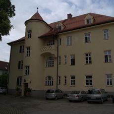
Finanzamt
197 m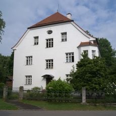
Villa
244 m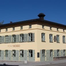
Salzburger Straße 2
232 m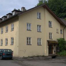
Wohnhaus
252 m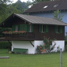
Gartenhäuschen
144 m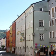
Schmidzeile 7 (Wasserburg am Inn)
264 m
Wohn- und Geschäftshaus
284 m
Remise Rosenheimer Straße 16 in Wasserburg am Inn
183 m
Wohnhaus
242 m
Wohnhaus
266 m
Wohnhaus
237 m
Wohnhaus
271 m
Wohnhaus
242 m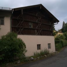
Bauernhaus
161 m
Wohnhaus
252 m
Wohnhaus
267 m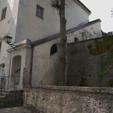
Freidhoferstiege
283 m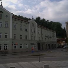
Bürgerhaus
242 m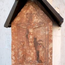
Wegkreuz
76 m
Ehemaliges Schützenhaus
82 m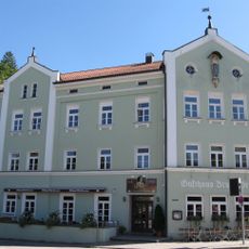
Gasthof Bruckbräu
255 m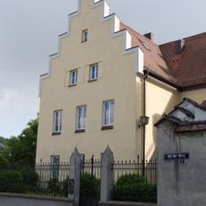
Ehemaliges Amtsrichterhaus
254 m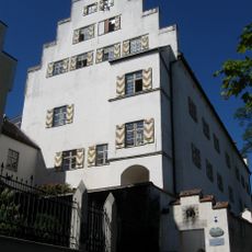
Schloss
265 m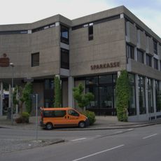
Stadtsparkasse
209 mReviews
Visited this place? Tap the stars to rate it and share your experience / photos with the community! Try now! You can cancel it anytime.
Discover hidden gems everywhere you go!
From secret cafés to breathtaking viewpoints, skip the crowded tourist spots and find places that match your style. Our app makes it easy with voice search, smart filtering, route optimization, and insider tips from travelers worldwide. Download now for the complete mobile experience.

A unique approach to discovering new places❞
— Le Figaro
All the places worth exploring❞
— France Info
A tailor-made excursion in just a few clicks❞
— 20 Minutes