
Stadel eines Bauernhofes
Stadel eines Bauernhofes, langgestreckter doppeltenniger Ständerbohlenstadel mit reichem Bundwerk, erstes Drittel 19. Jahrhundert
Location: Aschau am Inn
Address: Deinwalln 1
GPS coordinates: 48.20974,12.31994
Latest update: March 3, 2025 13:22
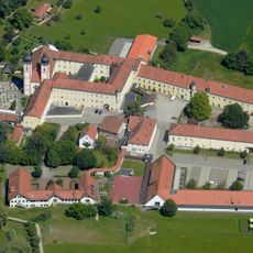
Kloster Au am Inn
4.8 km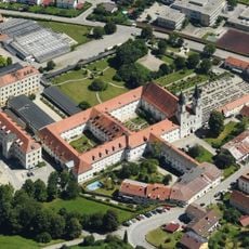
Gars Abbey
6.8 km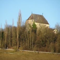
Burg Megling
4.2 km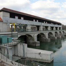
Jettenbacher weir
5.9 km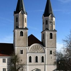
Pfarrkirche Mariä Himmelfahrt
6.8 km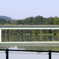
Innbrücke Jettenbach
5.5 km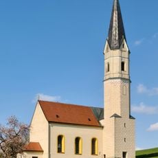
Unsere Liebe Frau vom Trost
5.4 km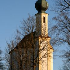
Wallfahrtskirche Maria Schnee (Kirchbrunn)
4.8 km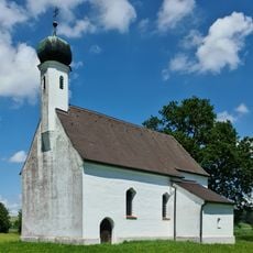
St. Nikolaus (Göppenham)
6.5 km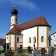
Katholische Pfarrkirche St. Martin
5 km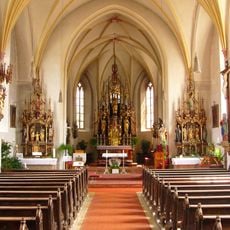
Mariä Himmelfahrt
2.3 km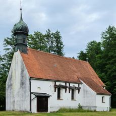
St. Stephan
6 km
St. Martin und St. Maria Magdalena
6.8 km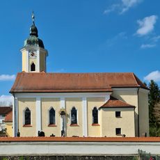
St. Ulrich
5 km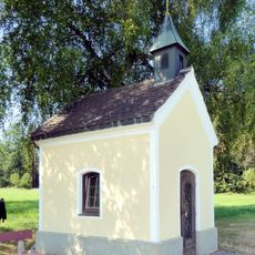
Wegkapelle
3.1 km
LSG Am Stampflberg im Gebiet des Marktes Gars am Inn
3.8 km
Sankt Maria (Au am Inn)
4.8 km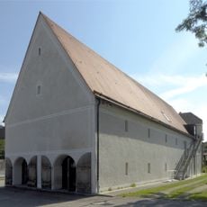
Ehemaliger Zehentstadel des Klosters
4.8 km
Bunker 29
5.7 km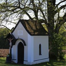
Wegkapelle (Hopfgarten, Gars am Inn)
3.6 km
Stadtmuseum Waldkraiburg
6.4 km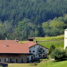
Wohnstallhaus eines ehemaligen Vierseithofs
4.3 km
Ehemaliges Klosterrichterhaus
4.9 km
Kloster der Franziskanerinnen
4.9 km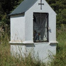
Bildstock
4 km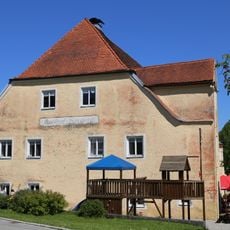
Ehemalige Klostertaverne
4.7 km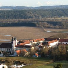
Reviews
Visited this place? Tap the stars to rate it and share your experience / photos with the community! Try now! You can cancel it anytime.
Discover hidden gems everywhere you go!
From secret cafés to breathtaking viewpoints, skip the crowded tourist spots and find places that match your style. Our app makes it easy with voice search, smart filtering, route optimization, and insider tips from travelers worldwide. Download now for the complete mobile experience.

A unique approach to discovering new places❞
— Le Figaro
All the places worth exploring❞
— France Info
A tailor-made excursion in just a few clicks❞
— 20 Minutes