
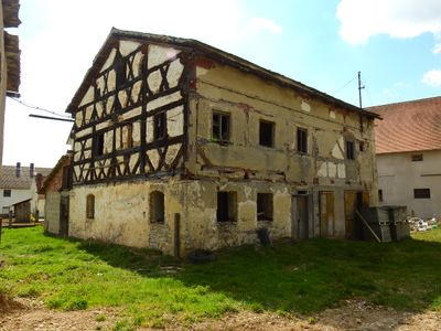
Bauernhof, Wohnstallhaus, zweigeschossiger, traufseitiger Flachsatteldachbau in Jura-Bauweise mit Kniestock, Fachwerkobergeschoss und -giebel, 18./19. Jahrhundert, Türstock bezeichnet „1824“ und „1854“
Location: Greding
Address: Wallfahrtsstraße 7
GPS coordinates: 49.02581,11.30083
Latest update: March 3, 2025 13:14
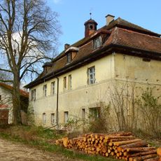
Gutshof an Stelle der Vorburg der mittelalterlichen Burg der Herren von Polanten, dann der Familie von Morsbach
854 m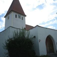
St. Bartholomäus
1.9 km
Euerwanger Bühl
2.2 km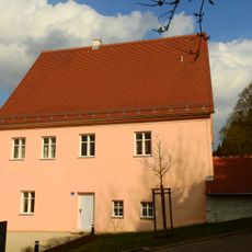
Ehemaliges Pfarrhaus
2.4 km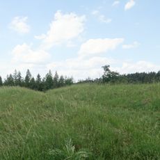
Cultural heritage D-5-6933-0047 in Greding
1.2 km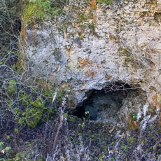
Höhlensystem am Euerwanger Bühl
2.4 km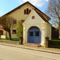
Kapelle
1.8 km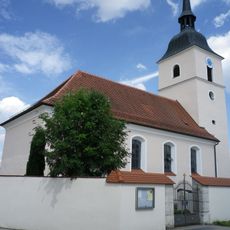
St. Andreas
1.4 km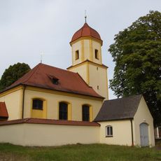
St. Nikolaus
2.8 km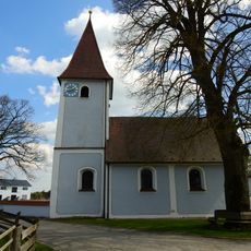
Maria Hilf
56 m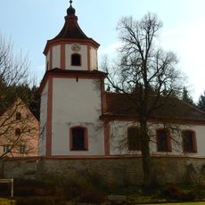
Katholische Pfarrkirche St. Pauli Bekehrung
2.4 km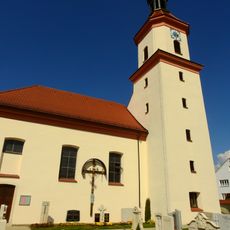
Katholische Filialkirche St. Martin (Euerwang)
1.7 km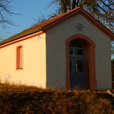
Kapelle
1.6 km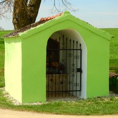
Wegkapelle
1 km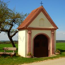
Wegkapelle
1.7 km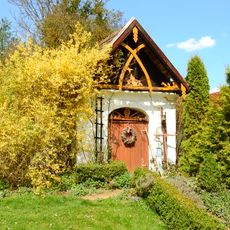
Ehemalige Wegkapelle
845 m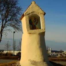
Heiligenhäuschen
2.3 km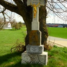
Wegkreuz mit vergoldeter Gussfigur
1.4 km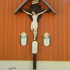
Wandkruzifix mit Gefallenentafeln
1.8 km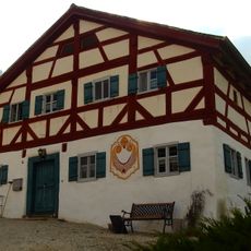
Ehemaliger Bauernhof
2.4 km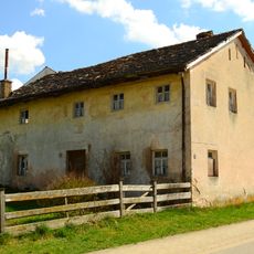
Bauernhaus
1.7 km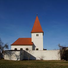
Kirchhofbefestigung Euerwanger Straße 4 in Greding
1.9 km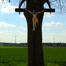
Wegkreuz
853 m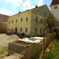
Bauernhaus
1.9 km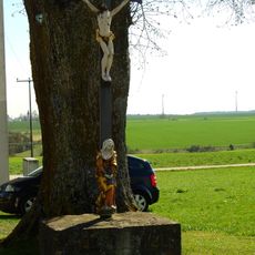
Wegkreuz
1.3 km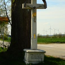
Wegkreuz
1.3 km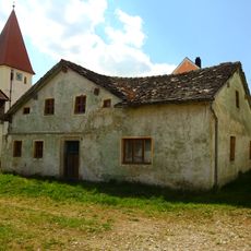
Wohnstallhaus
1.9 km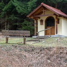
Antoniuskapelle
2.9 kmReviews
Visited this place? Tap the stars to rate it and share your experience / photos with the community! Try now! You can cancel it anytime.
Discover hidden gems everywhere you go!
From secret cafés to breathtaking viewpoints, skip the crowded tourist spots and find places that match your style. Our app makes it easy with voice search, smart filtering, route optimization, and insider tips from travelers worldwide. Download now for the complete mobile experience.

A unique approach to discovering new places❞
— Le Figaro
All the places worth exploring❞
— France Info
A tailor-made excursion in just a few clicks❞
— 20 Minutes