
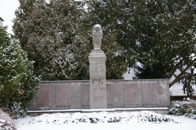
Kriegerdenkmal, denkmal für die im Ersten Weltkrieg gefallenen Gemeindemitglieder in Form eines von einem Löwen bekrönten Pfeilers, um 1925, nach dem Zweiten Weltkrieg ergänzt
Location: Schillingsfürst
Address: Nähe Bürgermeister-Pflaumer-Straße
GPS coordinates: 49.28871,10.26448
Latest update: March 6, 2025 04:22
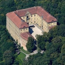
Schloss Schillingsfürst
821 m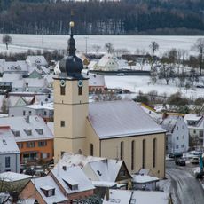
St. Kilian
392 m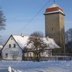
Brunnenhausmuseum
822 m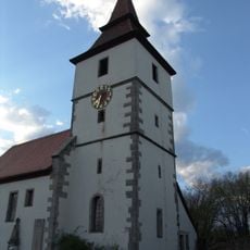
St. Veit
4.1 km
St. Maria Magdalena
3.6 km
St. Laurentius
3.2 km
St. Sixtus
3.1 km
St. Martin
4 km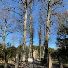
Mausoleum
238 m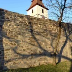
Churchyard wall
4.1 km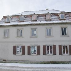
Wohnhaus
207 m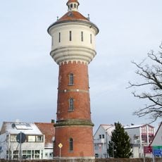
Wasserturm
190 m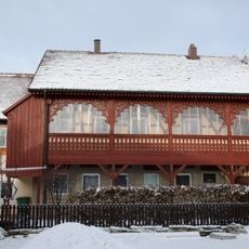
Wohnhaus
227 m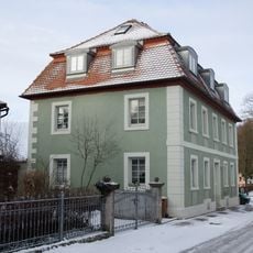
Wohnhaus, ehemaliges Doppelhaus
234 m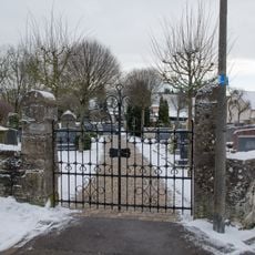
Alter Friedhof
784 m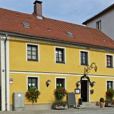
Gasthaus
33 m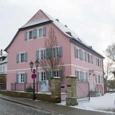
Evangelisch-lutherisches Pfarrhaus
304 m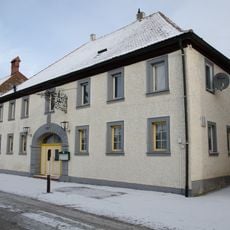
Gasthof Zur Traube
243 m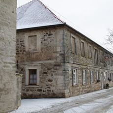
Ehemaliger Gutshof, dann Kaserne
333 m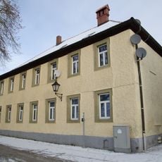
Wohnhaus
266 m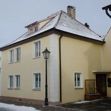
Wohnhaus
107 m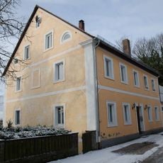
Ehemalige Hofbäckerei
339 m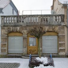
Wohnhaus
92 m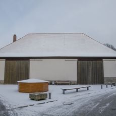
Ehemaliger Zehntstadel
191 m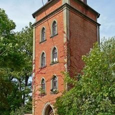
Turm, auch ehemaliger Wasserturm
266 m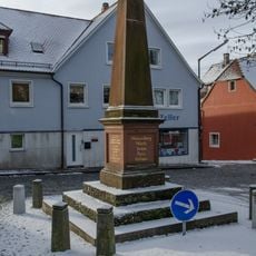
Kriegerdenkmal, Denkmal für die im deutsch-französischen Krieg 1870/71 gefallenen Gemeindemitglieder
212 m
Am Markt 8
370 m
Ehemaliger Gasthof
122 mReviews
Visited this place? Tap the stars to rate it and share your experience / photos with the community! Try now! You can cancel it anytime.
Discover hidden gems everywhere you go!
From secret cafés to breathtaking viewpoints, skip the crowded tourist spots and find places that match your style. Our app makes it easy with voice search, smart filtering, route optimization, and insider tips from travelers worldwide. Download now for the complete mobile experience.

A unique approach to discovering new places❞
— Le Figaro
All the places worth exploring❞
— France Info
A tailor-made excursion in just a few clicks❞
— 20 Minutes