
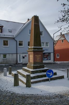
Kriegerdenkmal, Denkmal für die im deutsch-französischen Krieg 1870/71 gefallenen Gemeindemitglieder
Kriegerdenkmal, Denkmal für die im deutsch-französischen Krieg 1870/71 gefallenen Gemeindemitglieder, in Form eines Obelisken auf einem Postament, letztes Viertel 19. Jahrhundert
Location: Schillingsfürst
Address: Steinerne Steige
GPS coordinates: 49.28735,10.26244
Latest update: April 4, 2025 16:39

Schloss Schillingsfürst
859 m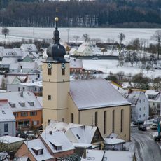
St. Kilian
190 m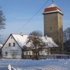
Brunnenhausmuseum
985 m
St. Veit
4 km
St. Maria Magdalena
3.9 km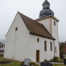
St. Laurentius
3.2 km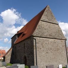
St. Sixtus
3.2 km
St. Martin
3.9 km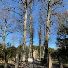
Mausoleum
436 m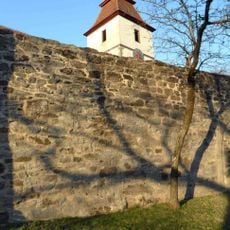
Churchyard wall
4 km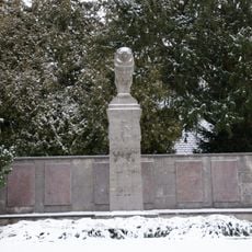
Kriegerdenkmal
212 m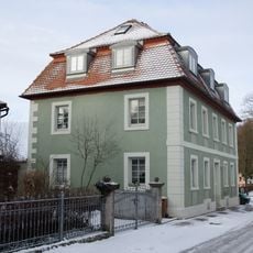
Wohnhaus, ehemaliges Doppelhaus
225 m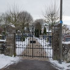
Alter Friedhof
574 m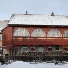
Wohnhaus
235 m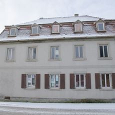
Wohnhaus
206 m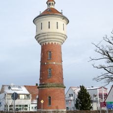
Wasserturm
370 m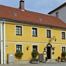
Gasthaus
212 m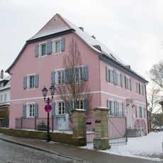
Evangelisch-lutherisches Pfarrhaus
94 m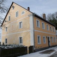
Ehemalige Hofbäckerei
306 m
Am Markt 8
159 m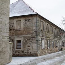
Ehemaliger Gutshof, dann Kaserne
320 m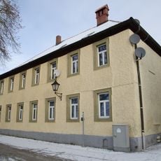
Wohnhaus
262 m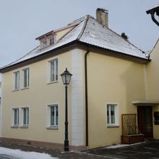
Wohnhaus
187 m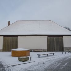
Ehemaliger Zehntstadel
216 m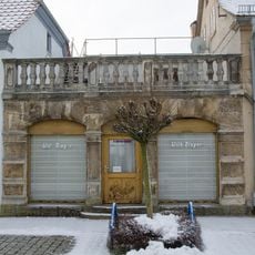
Wohnhaus
167 m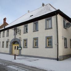
Gasthof Zur Traube
246 m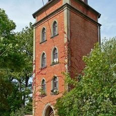
Turm, auch ehemaliger Wasserturm
318 m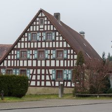
Wohnstallhaus
4 kmReviews
Visited this place? Tap the stars to rate it and share your experience / photos with the community! Try now! You can cancel it anytime.
Discover hidden gems everywhere you go!
From secret cafés to breathtaking viewpoints, skip the crowded tourist spots and find places that match your style. Our app makes it easy with voice search, smart filtering, route optimization, and insider tips from travelers worldwide. Download now for the complete mobile experience.

A unique approach to discovering new places❞
— Le Figaro
All the places worth exploring❞
— France Info
A tailor-made excursion in just a few clicks❞
— 20 Minutes