
Einfirsthof, zweigeschossiger Blockbau, Erdgeschoss zum Teil gemauert, Reste eines Giebelschrotes, im Kern um 1700, Firstsäule im Stadel bezeichnet 1788, Anfang 19. Jahrhundert vom Pfarrhof Eggstetten hierher versetzt
Location: Simbach am Inn
Address: Ed 4
GPS coordinates: 48.29016,12.95968
Latest update: May 11, 2025 15:44
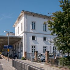
Simbach (Inn)
5.6 km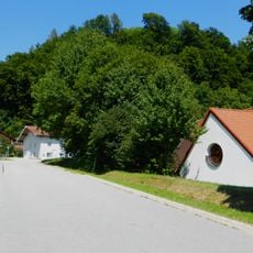
Burg Julbach
3.3 km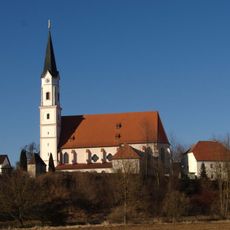
Mariä Himmelfahrt (Kirchdorf am Inn)
5.5 km
Schloss Ritzing
5.7 km
Sankt Peter und Paul (Tann, Lower Bavaria)
5.8 km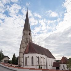
St. Alban
2.9 km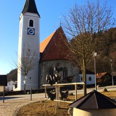
St. Bartholomäus
3.6 km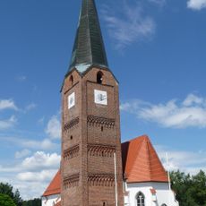
Katholische Pfarrkirche St. Maria, St. Philipp und St. Jakob
4.9 km
Schlosskapelle Ritzing
5.7 km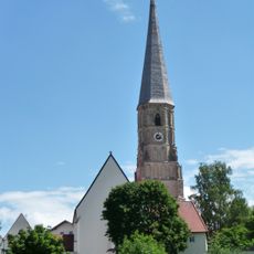
Katholische Pfarrkirche St. Alban
2.9 km
Katholische Pfarrkirche Mariä Himmelfahrt
5.5 km
Maria unbefleckte Empfängnis
5.7 km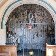
Mooskapelle
5 km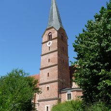
St. Stephanus (Reut)
2.7 km
Wallfahrtskapelle Stadleck
3.6 km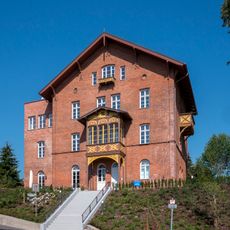
Roscher-Villa
5.7 km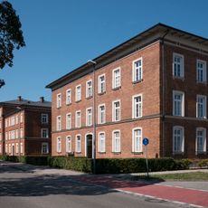
Gebäudegruppe Münchner Straße 22,24,26,28,20
5.4 km
Simbach Institut Marienhöhe
5.3 km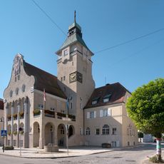
Rathaus Simbach am Inn
5.7 km
Apotheke
5.7 km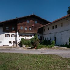
Bauernhof mit Sägemühle
5.3 km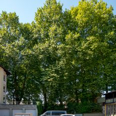
Platanenallee
5.5 km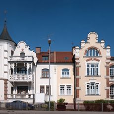
Doppelhaus
5.3 km
Heimatmuseum Simbach am Inn
5.7 km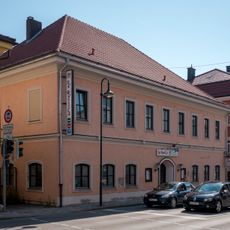
Gasthaus
5.7 km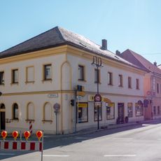
Wohn- und Geschäftshaus
5.6 km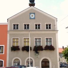
Rathaus
5.7 km
Ensemble Ortskern Tann
5.7 kmReviews
Visited this place? Tap the stars to rate it and share your experience / photos with the community! Try now! You can cancel it anytime.
Discover hidden gems everywhere you go!
From secret cafés to breathtaking viewpoints, skip the crowded tourist spots and find places that match your style. Our app makes it easy with voice search, smart filtering, route optimization, and insider tips from travelers worldwide. Download now for the complete mobile experience.

A unique approach to discovering new places❞
— Le Figaro
All the places worth exploring❞
— France Info
A tailor-made excursion in just a few clicks❞
— 20 Minutes