
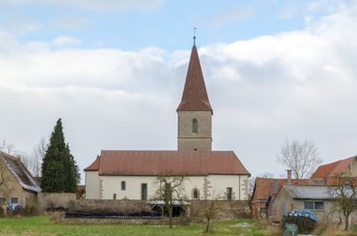
St. Andreas, church building in Leuzenbronn (Rothenburg ob der Tauber), Middle Franconia, Germany
Location: Rothenburg ob der Tauber
Address: Leuzenbronn 28
GPS coordinates: 49.37334,10.12808
Latest update: April 3, 2025 21:02
Toppler Castle
3 km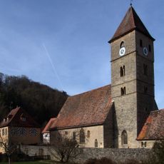
St. Peter and St. Paul's Church
3.2 km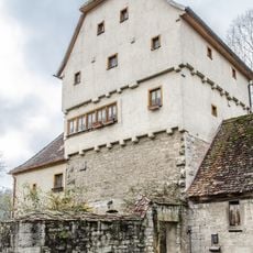
Detwang 29
3.2 km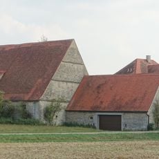
Landschlösschen
1.8 km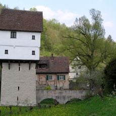
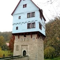
Topplerschlösschen
3 km
Gutshof Burgstall, Rothenburg ob der Tauber, Gebäude
2.6 km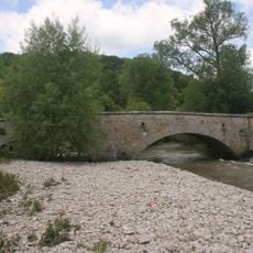
Detwang 33, Tauberbrücke
3.2 km
Kurze Steige 1a, Pulvermühle
3.2 km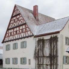
Leuzenbronn 20
32 m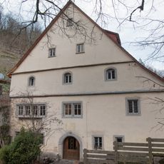
Taubertalweg 101, Fuchsmühle
3 km
Leuzenbronn 7
59 m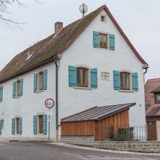
Detwang 33, Schmiede
3.2 km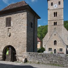
Friedhofsmauer Detwang 31 in Rothenburg ob der Tauber
3.2 km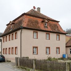
Detwang 24
3.2 km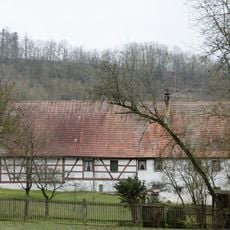
Taubertalweg 83
2.9 km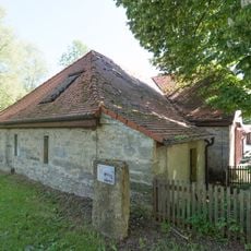
Taubertalweg 80, Hansrödermühle
3 km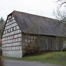
Taubertalweg 90
2.9 km
Taubertalweg, Kaiserstuhl, Scheune (Rothenburg ob der Tauber)
2.9 km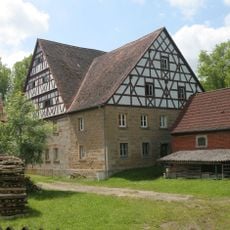
Detwang 30
3.2 km
Detwang 32
3.2 km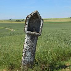
Gutshof Burgstall, Rothenburg ob der Tauber, Bildstock
2.2 km
Gutshof Burgstall 1
2.5 km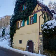
Wohnhaus
3 km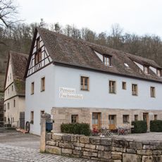
Taubertalweg 103a
3 km
Leuzenbronn 8
66 m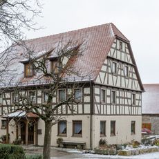
Leuzenbronn 9
80 m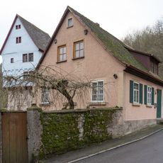
Taubertalweg 100 (Rothenburg ob der Tauber)
3 km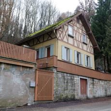
Ehemaliges Gasthaus
3.2 kmReviews
Visited this place? Tap the stars to rate it and share your experience / photos with the community! Try now! You can cancel it anytime.
Discover hidden gems everywhere you go!
From secret cafés to breathtaking viewpoints, skip the crowded tourist spots and find places that match your style. Our app makes it easy with voice search, smart filtering, route optimization, and insider tips from travelers worldwide. Download now for the complete mobile experience.

A unique approach to discovering new places❞
— Le Figaro
All the places worth exploring❞
— France Info
A tailor-made excursion in just a few clicks❞
— 20 Minutes