
Ehemaliger Pfarrhof, zweigeschossiger Walmdachbau, 1783
Location: Bernhardswald
Address: Wieden 3
GPS coordinates: 49.14010,12.28816
Latest update: March 20, 2025 11:09
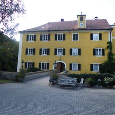
Schloss Bodenstein
5.4 km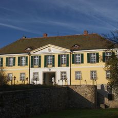
Schloss Kürn
6 km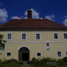
Schloss Hauzendorf
2.4 km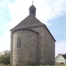
St. Ägidius
6.1 km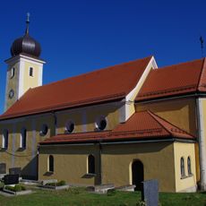
St. Laurentius
4.6 km
Burg Adlmannstein
5.3 km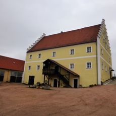
Schloss Glapfenberg
5.8 km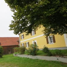
Schloss Wulkersdorf
1.4 km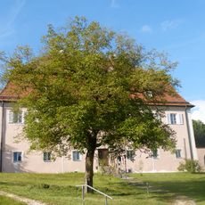
Ehemaliger Pfarrhof
5.4 km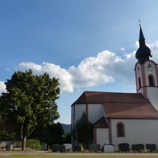
St. Nikolaus
5.4 km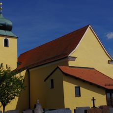
St. Lambert
560 m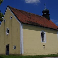
St. Leonhard
3.8 km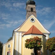
Katholische Loretokirche Mariä Heimsuchung
5.8 km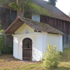
Wegkapelle
5.2 km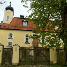
Ehemalige Schlosskapelle Hl. Kreuz
6.1 km
Wohnhaus, ehemals südlicher Flankenbau des Unteren Tores
6.4 km
Oberer Bayerischer Wald (2)
1.8 km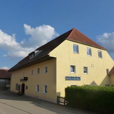
Gasthaus
5.4 km
Nittenau
6.3 km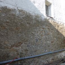
Burg Adlmannstein
5.3 km
Ehemaliger Granitbruch NE von Gumping
3 km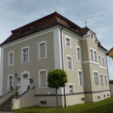
Nittenau
6.3 km
Figurengruppe am Pfarrhof
4.5 km
Schloss Bernhardswald
6.1 km
Ehemalige Schlosswirtschaft
5.2 km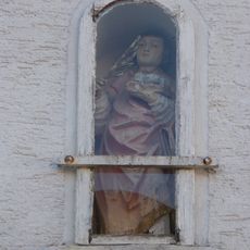
Hausfigur St. Stephan
5.6 km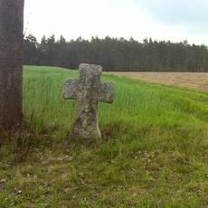
Sühnekreuz aus Granit
3.8 km
Ehemaliges Pfarrhaus
2.6 kmReviews
Visited this place? Tap the stars to rate it and share your experience / photos with the community! Try now! You can cancel it anytime.
Discover hidden gems everywhere you go!
From secret cafés to breathtaking viewpoints, skip the crowded tourist spots and find places that match your style. Our app makes it easy with voice search, smart filtering, route optimization, and insider tips from travelers worldwide. Download now for the complete mobile experience.

A unique approach to discovering new places❞
— Le Figaro
All the places worth exploring❞
— France Info
A tailor-made excursion in just a few clicks❞
— 20 Minutes