
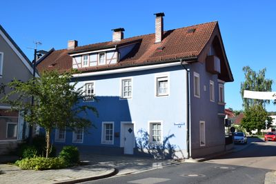
Wohnhaus, ehemals südlicher Flankenbau des Unteren Tores
Wohnhaus, ehemals südlicher Flankenbau des Unteren Tores, building in Nittenau, Upper Palatinate, Germany
Location: Nittenau
Address: Unterer Torweg 2
GPS coordinates: 49.19662,12.26965
Latest update: March 22, 2025 01:09
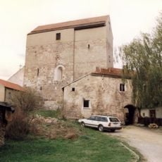
Burg Hof am Regen
4 km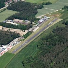
Nittenau-Bruck airfield
3.6 km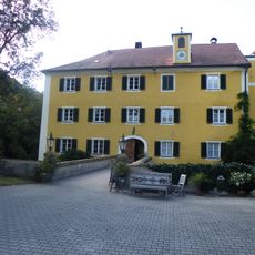
Schloss Bodenstein
3.4 km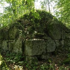
Burgstall Zangenfels
4.1 km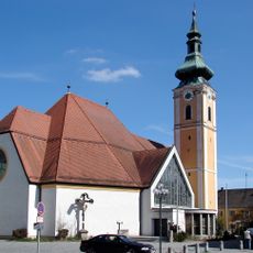
Katholische Pfarrkirche Mariä Geburt
190 m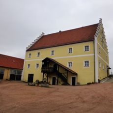
Schloss Glapfenberg
4.8 km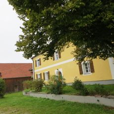
Schloss Wulkersdorf
5.2 km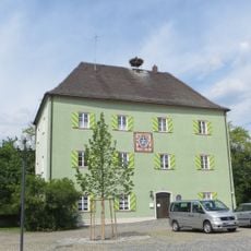
Burggut Nittenau
182 m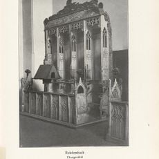
Chorgestühl
5.9 km
Freizeit- und Erholungsbad Nittenau
628 m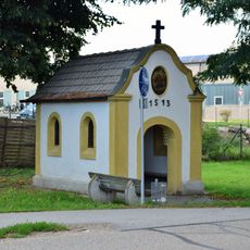
Kapelle, sogenannte Rastkapelle
5.3 km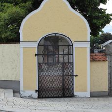
Friedhofskapelle
58 m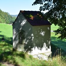
Kapelle
2.2 km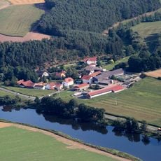
Oberer Bayerischer Wald (2)
4.7 km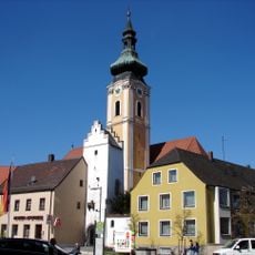
Wehrturm, sogenannter Storchenturm
183 m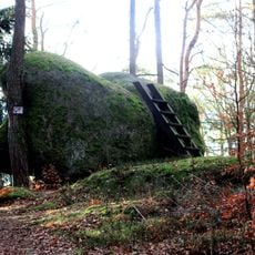
Wasserstein im Frauen-Holz bei Fischbach
4.6 km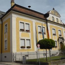
Nittenau
174 m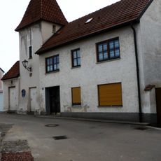
Turm der ehemaligen Marktbefestigung, sogenannter Schwalbenturm
110 m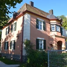
Ehemaliges Forstamtsgebäude
800 m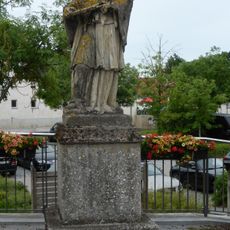
Figur des Hl. Johannes von Nepomuk
302 m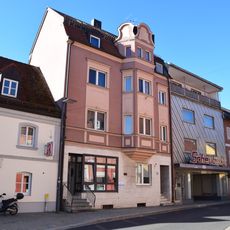
Wohn- und Geschäftshaus
76 m
Ehemaliger Granitbruch NE von Gumping
5.7 km
Nittenau
205 m
Turm der ehemaligen Marktbefestigung, sogenannter Spatzenturm
51 m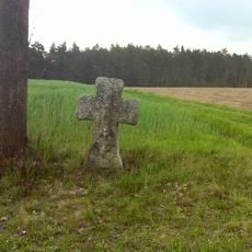
Sühnekreuz aus Granit
5.3 km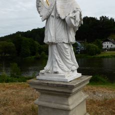
Figur des hl. Johannes Nepomuk
5.9 km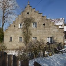
Kreuth 1
5.7 km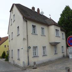
Wohnhaus
176 mReviews
Visited this place? Tap the stars to rate it and share your experience / photos with the community! Try now! You can cancel it anytime.
Discover hidden gems everywhere you go!
From secret cafés to breathtaking viewpoints, skip the crowded tourist spots and find places that match your style. Our app makes it easy with voice search, smart filtering, route optimization, and insider tips from travelers worldwide. Download now for the complete mobile experience.

A unique approach to discovering new places❞
— Le Figaro
All the places worth exploring❞
— France Info
A tailor-made excursion in just a few clicks❞
— 20 Minutes