
Steinerner Feldaltar, im Aufsatz Abendmahlsdarstellung, Granit, bezeichnet mit „1828“
Location: Plößberg
Address: Brückelzelch, unter einer alten Linde, 800 Meter südwestlich
GPS coordinates: 49.80364,12.25224
Latest update: August 7, 2025 15:03
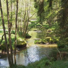
Waldnaabtal
4.6 km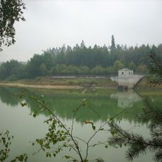
Hochwasserspeicher Liebenstein
5.9 km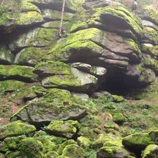
Große Teufelsküche
5.8 km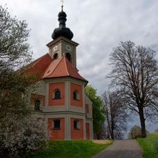
St. Quirin
5.4 km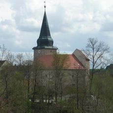
Burg Wildenau (Plößberg)
3.1 km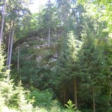
Burgstall Altneuhaus
5.3 km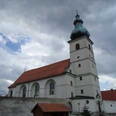
Pfarrkirche Mariä Himmelfahrt Beidl
857 m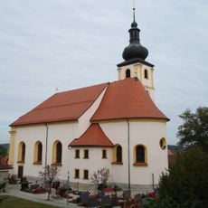
St. Laurentius (Stein)
5.7 km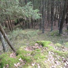
Burgstall Lengenfeld
3.2 km
Burgstall Herrenstein
4.7 km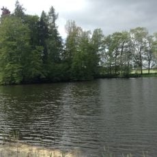
Burgstall Schönficht
1.4 km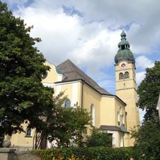
Katholische Pfarrkirche St. Georg
4.9 km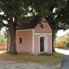
Kapelle St. Thaddäus
4.5 km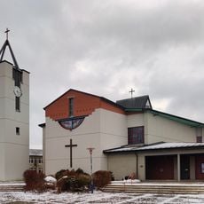
Heilig-Geist-Kirche (Neuhaus)
5.9 km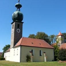
Sankt Michael, kath., (Schönkirch)
3 km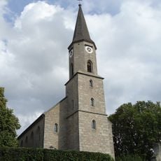
Sankt Georg, ev.,
4.8 km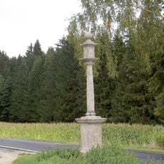
Stiftlandsäule
5.7 km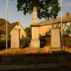
Kriegerdenkmal für die Gefallenen von 1914/18
2.9 km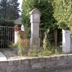
Bildstock Sonnenstraße 20
5.7 km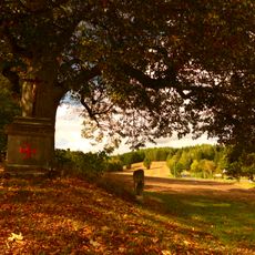
Steinerner Feldaltar zu einem Schauergedenken
767 m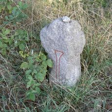
Steinkreuz Schnepfenbühl
5.4 km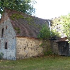
Steinstadel Schönkirch
3 km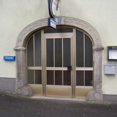
Steinerner Torbogen
4.6 km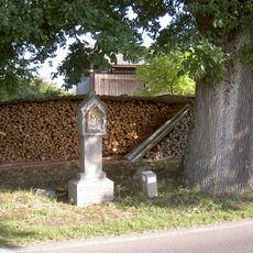
Bildstock Demeshof
5.8 km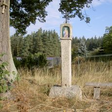
Bildstock bei der Linde an der St2181
4.5 km
Brücke
1.5 km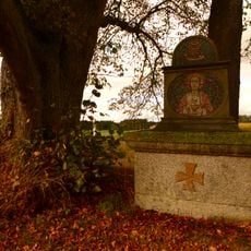
Steinerner Feldaltar
620 m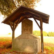
Steinerner Feldaltar
1 kmReviews
Visited this place? Tap the stars to rate it and share your experience / photos with the community! Try now! You can cancel it anytime.
Discover hidden gems everywhere you go!
From secret cafés to breathtaking viewpoints, skip the crowded tourist spots and find places that match your style. Our app makes it easy with voice search, smart filtering, route optimization, and insider tips from travelers worldwide. Download now for the complete mobile experience.

A unique approach to discovering new places❞
— Le Figaro
All the places worth exploring❞
— France Info
A tailor-made excursion in just a few clicks❞
— 20 Minutes