
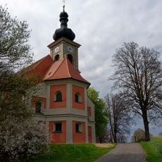
Katholische Benefiziumskirche St. Erhard, building in Plößberg, Upper Palatinate, Germany
Location: Plößberg
Address: Pfarrer-Wißmath-Straße 7
GPS coordinates: 49.77451,12.26046
Latest update: October 25, 2025 23:39
St. Quirin
3.6 km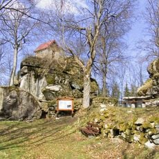
Burgstall Haselstein
5.2 km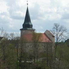
Burg Wildenau (Plößberg)
265 m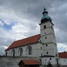
Pfarrkirche Mariä Himmelfahrt Beidl
3.5 km
Burgstall Schönficht
4.7 km
Former Burgstall, so-called Mohrenstein
4.6 km
Katholische Pfarrkirche St. Georg
3.9 km
Kapelle St. Thaddäus
3.5 km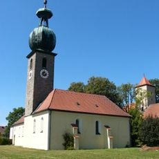
Sankt Michael, kath., (Schönkirch)
3 km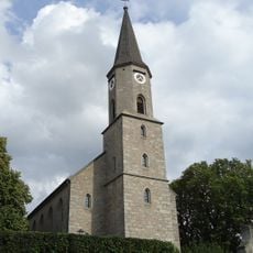
Sankt Georg, ev.,
3.8 km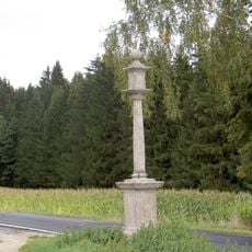
Stiftlandsäule
3 km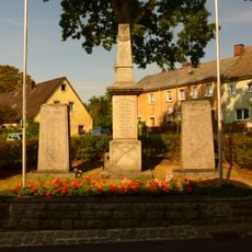
Kriegerdenkmal für die Gefallenen von 1914/18
3 km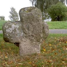
Steinkreuz Plößberger Straße Floß
4.9 km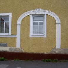
Steintorbogen
5.5 km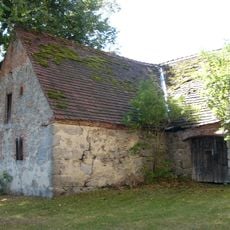
Steinstadel Schönkirch
3 km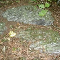
Serpentinithügel St. Nikolaus bei Floß
5.3 km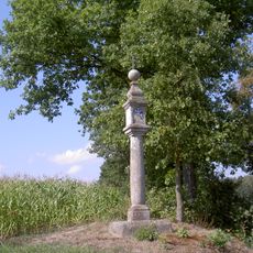
Bildstock im G'fries
5.3 km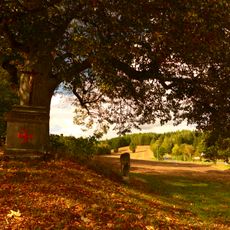
Steinerner Feldaltar zu einem Schauergedenken
3.8 km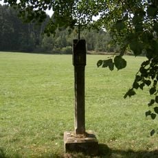
Bildstock Wirrenlohe (Rastenhof)
5.2 km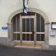
Steinerner Torbogen
3.6 km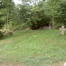
Steinkreuze Nikolausberg Floß
5.3 km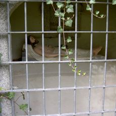
Heiliges Grab Nikolausberg Floß
5.3 km
Grabmal Waffenhammer 1 in Plößberg
1.4 km
Brücke
4 km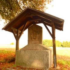
Steinerner Feldaltar
4.3 km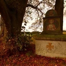
Steinerner Feldaltar
3.8 km
Kriegerdenkmal
3.7 km
Scenic viewpoint
3.8 kmReviews
Visited this place? Tap the stars to rate it and share your experience / photos with the community! Try now! You can cancel it anytime.
Discover hidden gems everywhere you go!
From secret cafés to breathtaking viewpoints, skip the crowded tourist spots and find places that match your style. Our app makes it easy with voice search, smart filtering, route optimization, and insider tips from travelers worldwide. Download now for the complete mobile experience.

A unique approach to discovering new places❞
— Le Figaro
All the places worth exploring❞
— France Info
A tailor-made excursion in just a few clicks❞
— 20 Minutes