
LSG-Gebiet der Flaesheimer Bucht, protected area in Germany
Location: Haltern am See
Inception: 1990
GPS coordinates: 51.70875,7.25335
Latest update: March 25, 2025 00:55
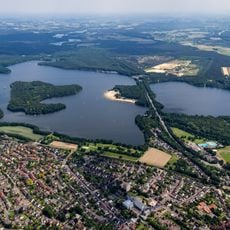
Halterner Talsperre
6.9 km
Haard
5 km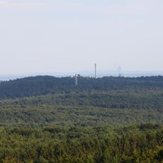
Stim-Berg
4.8 km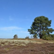
Westruper Heide
3.4 km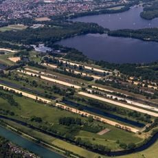
Haltern waterworks
4.5 km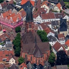
St. Sixtus
5.9 km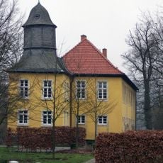
Haus Vogelsang
5.2 km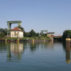
Schleuse Flaesheim
1.4 km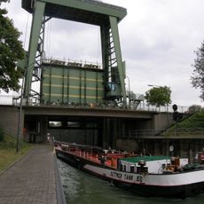
Schleuse Ahsen
5.2 km
Waldhaus
5.9 km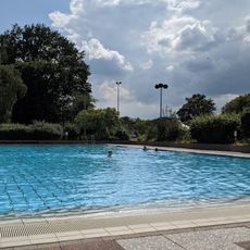
Aquarell
5.1 km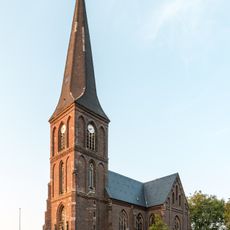
St. Andreas (Hullern)
4 km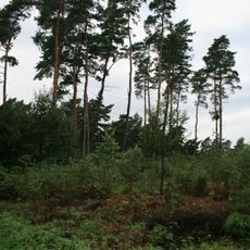
Kibitz-Berg
4.4 km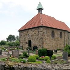
St. Katharina
5 km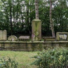
Jüdischer Friedhof (Haltern am See)
5.8 km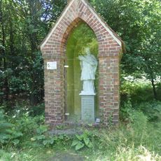
Heiliger Johannes Nepomuk
4.7 km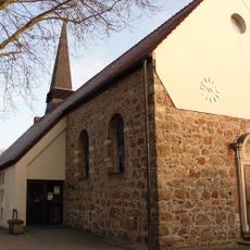
St. Mariä Heimsuchung
4 km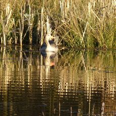
Brinksknapp
4.8 km
Seebucht Hohe Niemen
4.4 km
Schwarzer Berg
4.1 km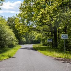
Borkenberge
5.9 km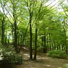
Schwarzer Berg
4.1 km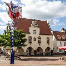
Altes Rathaus
6 km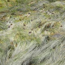
Landschaftsschutzgebiet Stausee Haltern
4 km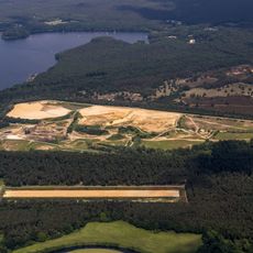
Westruper Heide
3.2 km
Altes Pastorat
5.8 km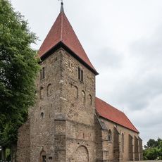
Stiftskirche St. Maria-Magdalena
1.9 km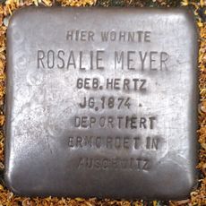
Stolperstein dedicated to Rosalie Meyer
5.7 kmReviews
Visited this place? Tap the stars to rate it and share your experience / photos with the community! Try now! You can cancel it anytime.
Discover hidden gems everywhere you go!
From secret cafés to breathtaking viewpoints, skip the crowded tourist spots and find places that match your style. Our app makes it easy with voice search, smart filtering, route optimization, and insider tips from travelers worldwide. Download now for the complete mobile experience.

A unique approach to discovering new places❞
— Le Figaro
All the places worth exploring❞
— France Info
A tailor-made excursion in just a few clicks❞
— 20 Minutes