
Ricklingen, district in Hanover, Germany
Location: Ricklingen
Elevation above the sea: 57 m
Shares border with: Linden-Süd, Bornum, Döhren, Südstadt, Oberricklingen, Mühlenberg, Calenberger Neustadt
GPS coordinates: 52.34090,9.72710
Latest update: March 2, 2025 23:24
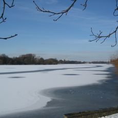
Maschsee
1.8 km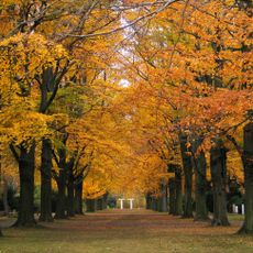
Stadtfriedhof Ricklingen
1.5 km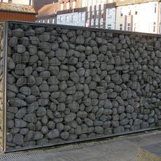
Gabion fountain
688 m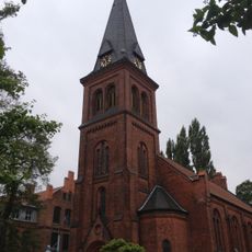
Michaeliskirche
706 m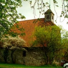
Edelhofkapelle (Hannover)
437 m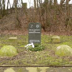
Mahnmal am Bahnhof Fischerhof (Hannover)
1.6 km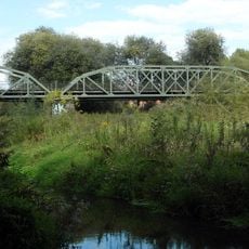
Helene-Weber bridge
1.3 km
Michaelisfriedhof
319 m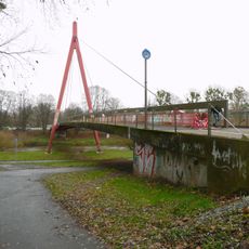
Lodemannbrücke
1.6 km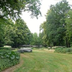
Staudengrund am Maschsee
1.3 km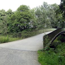
Schwienbrücke
1.3 km
Ricklinger Stadtweg 50, Hannover
786 m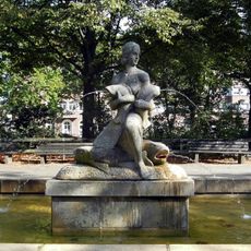
Fischbrunnen
1.2 km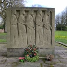
Victims of war memorial, Ricklingen
1.4 km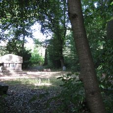
Memorial site An der Bauerwiese
472 m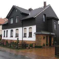
Menzelstraße 18, Hannover
857 m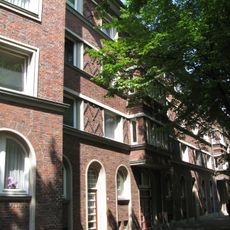
Friedrich-Ebert-Platz 10, Hannover
1.3 km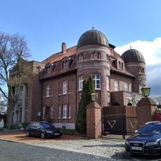
Am Tönniesberg 1
2 km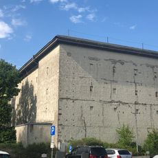
High bunker
950 m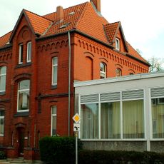
Gemeindehaus Michaeliskirche
740 m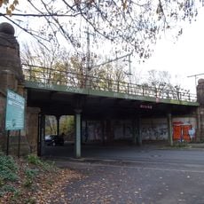
Railroad bridge Stammestraße
1.3 km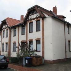
Schnabelstraße 66, Hannover
1.1 km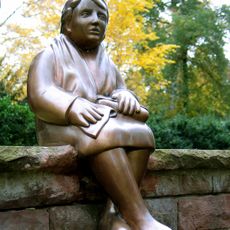
Mourners
1.4 km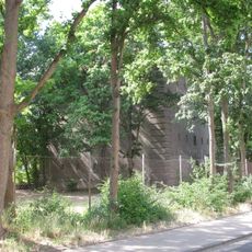
High bunker Nordfeldstraße 6
493 m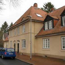
Martensplatz 15, Hannover
888 m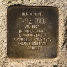
Stolperstein dedicated to Fritz Treu
1 km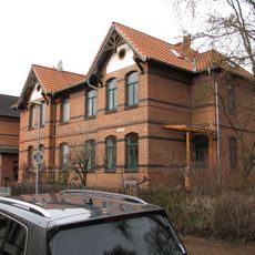
Schnabelstraße 34, Hannover
955 m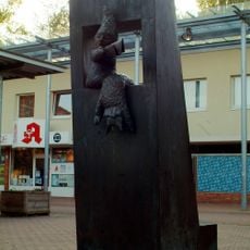
Kasperletheater
1.7 kmReviews
Visited this place? Tap the stars to rate it and share your experience / photos with the community! Try now! You can cancel it anytime.
Discover hidden gems everywhere you go!
From secret cafés to breathtaking viewpoints, skip the crowded tourist spots and find places that match your style. Our app makes it easy with voice search, smart filtering, route optimization, and insider tips from travelers worldwide. Download now for the complete mobile experience.

A unique approach to discovering new places❞
— Le Figaro
All the places worth exploring❞
— France Info
A tailor-made excursion in just a few clicks❞
— 20 Minutes