Djibouti, East African country at the Horn of Africa
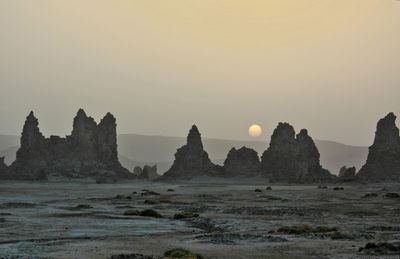
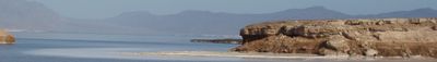
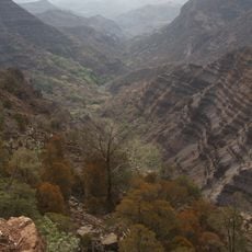
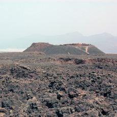
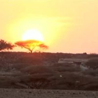
The territory covers 23,200 square kilometers of volcanic highlands and salt plains wedged between Eritrea, Somalia, and Ethiopia, with a shoreline stretching around 370 kilometers along the Red Sea and Gulf of Aden. The terrain features jagged mountains, wide valleys, and lava fields shaped by the Rift Zone.
France began establishing coastal outposts in the early 1860s and formalized the colony as French Somaliland in 1888. After more than a century under French administration, the territory gained independence in 1977.
Indigenous communities follow inherited ways of life visible in daily routines, market gatherings, and the languages spoken in the streets. Arabic and French script appear on road signs and official forms, while Somali or Afar dominate informal exchanges between neighbors.
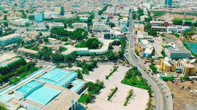
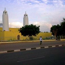
The capital serves as the arrival point with international flight connections and a rail line running to Ethiopia since 2018. Ports along the coast handle goods for landlocked neighbors and form a hub for regional shipping routes.
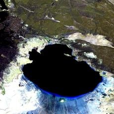
Lake Assal lies 155 meters below sea level, making it the lowest point in Africa and the third lowest land depression on Earth. Its salt concentration exceeds that of the Dead Sea and is surpassed only by lakes in Antarctica.
The community of curious travelers
AroundUs brings together thousands of curated places, local tips, and hidden gems, enriched daily by 60,000 contributors worldwide.