Vrads Herred, Historical hundred in Skanderborg Municipality, Denmark.
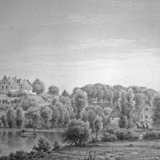
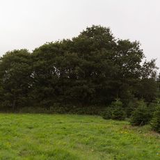
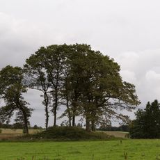
Vrads Herred is a historical administrative area in East Jutland with varied terrain where rolling hills in the east meet flat plains to the west. The territory is divided into several parishes including Ejstrup, Hammer, Klovborg, Linnerup, and Nørre Snede, connected by a network of rural roads.
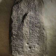
The area appears in King Valdemar's Land Register as Wrazhøghæreth and experienced several administrative transitions from Silkeborg Len to Skanderborg Amt across the centuries.
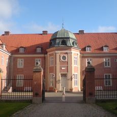
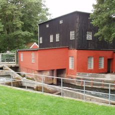
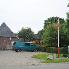
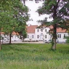
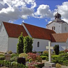
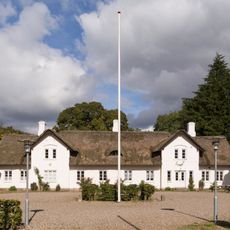
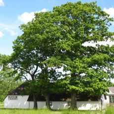
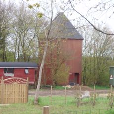
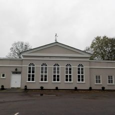
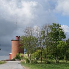
The area displays traditional Danish farms and churches that function as community gathering places, reflecting the agricultural character of East Jutland.
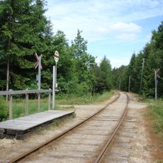
A car or bicycle is the best way to navigate the area, as the parishes are connected by rural roads and public transportation coverage is limited. Visitors should expect longer travel times between individual locations, particularly when exploring sites beyond the main villages.
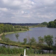
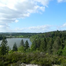
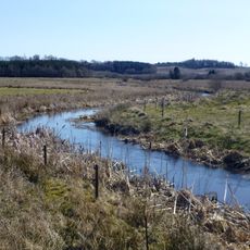
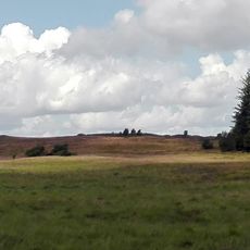
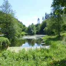
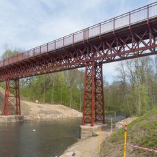
Bavnehøj stands as the region's highest point at about 150 meters and offers views across the surrounding landscape. The area is also shaped by major water bodies including Himmelbjærg Lakes and the Gudenaa and Skjern Aa rivers.
The community of curious travelers
AroundUs brings together thousands of curated places, local tips, and hidden gems, enriched daily by 60,000 contributors worldwide.