Geography of Greenland, Territory between Arctic and Atlantic oceans, Denmark
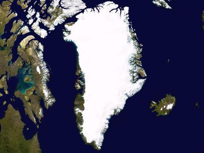
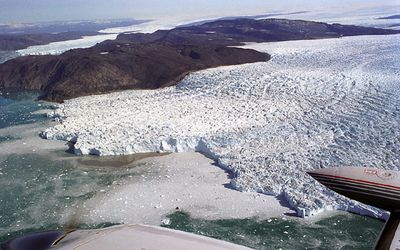
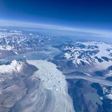
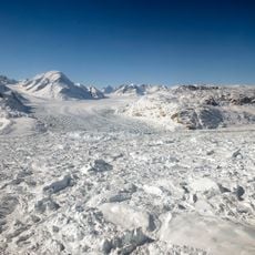
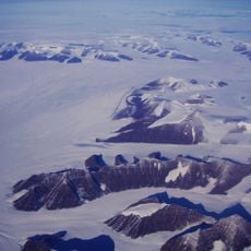
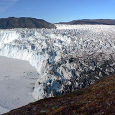
Greenland is the largest island on Earth, positioned between the Arctic Ocean to the north and the Atlantic Ocean to the south. The ice sheet dominates the terrain across most of the interior, leaving only narrow coastal strips exposed.
Vikings from Iceland reached the shores in the late tenth century and established settlements along the southern fjords. Inuit groups arrived centuries later from the west, shaping the culture that continues today.
The territory maintains Greenlandic as its official language since 2009, with Danish serving administrative functions while most residents speak both languages fluently.
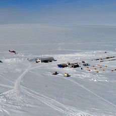
Coastal regions are most accessible during summer months when boats and small planes connect the towns. Visitors should prepare for changing weather and bring warm clothing even during warmer months.
The coastline measures more than the length of the equator even though the territory has only a few paved roads. Beneath the ice cap, parts of the bedrock sit below sea level due to the weight pressing down.
The community of curious travelers
AroundUs brings together thousands of curated places, local tips, and hidden gems, enriched daily by 60,000 contributors worldwide.