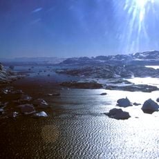
Kangerlussuaq, Glacial fjord in Sermersooq, Greenland.
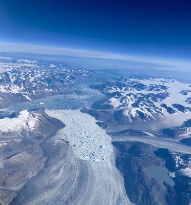
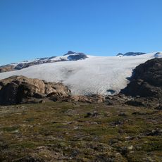
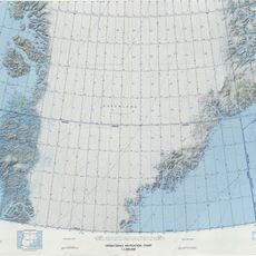
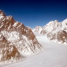
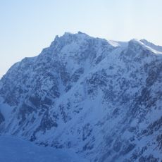
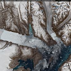
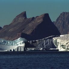
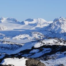
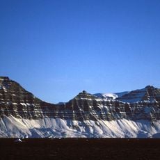
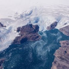
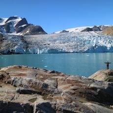
Kangerlussuaq is a glacial fjord on Greenland's east coast that stretches about 68 kilometers and reaches up to 10 kilometers wide at its broadest point. Water depths plunge to around 960 meters while surrounding mountain peaks rise to approximately 1,600 meters.
The fjord was mapped and named during Georg Carl Amdrup's 1900 expedition along Greenland's east coast. This exploration helped document and better understand one of the region's most dramatic natural features.
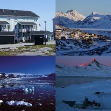
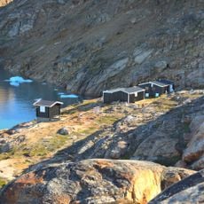
The name translates to 'large fjord' in Greenlandic, reflecting how local populations understood this vast waterway. Coastal areas show traces of settlements that adapted to life in this harsh environment over many centuries.
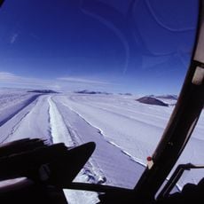
The fjord sits in an Arctic climate with average temperatures around -11 degrees Celsius year-round, with July reaching about 2 degrees as the warmest month. Visitors should prepare for extreme cold and limited accessibility that depends mainly on water and glacier conditions.
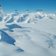
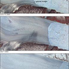
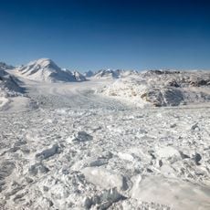
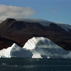
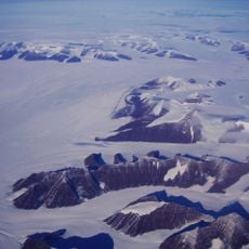
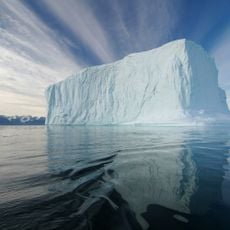
The Kangerlussuaq Glacier feeding into this fjord is the largest on Greenland's east coast and sits framed by dramatic mountain terrain. This ice mass constantly moves and calves icebergs into the waters, continuously reshaping the landscape.
The community of curious travelers
AroundUs brings together thousands of curated places, local tips, and hidden gems, enriched daily by 60,000 contributors worldwide.