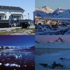
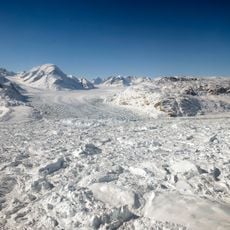
Mittivakkat Glacier, Research glacier in Sermersooq, Greenland
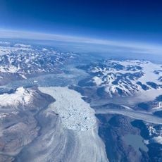
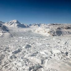
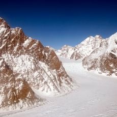
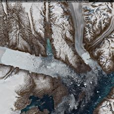
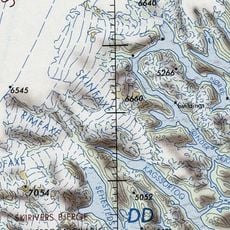
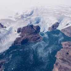
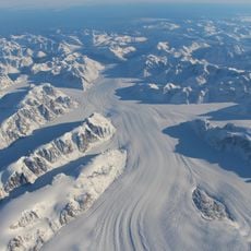
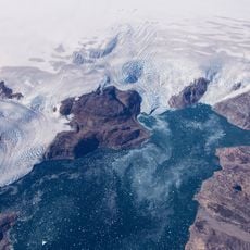
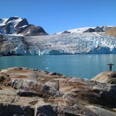
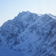
Mittivakkat Glacier is a local ice cap on western Ammassalik Island in southeast Greenland, wrapping around the 922-metre nunatak Mittivakkat. Its main tongue runs about 7.4 km from the ice divide at roughly 880 m down to a terminus at about 160 m, draining west toward Sermilik fjord. The surface is heavily crevassed and pitted with mill holes, and much of the lower tongue appears dirty from carried sediment.
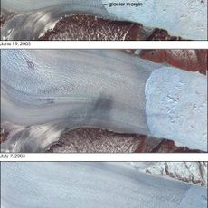
The glacier was first surveyed geodetically in 1933, when geologist Keld Milthers, on Knud Rasmussen's seventh Thule expedition, measured its tongue and named it after the central nunatak. Researchers later used his field book to reconstruct a horizontal retreat of 1,283 metres between 1933 and 2010. Reindeer bones found in the retreating ice in 2005 dated to about 1200–1300 AD.
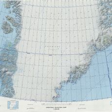
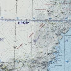
The name Mittivakkat is East Greenlandic for "breasts", referring to the nunatak the ice surrounds; West Greenlandic forms are Milluakkat and, in older orthography, Mítivagkat or Mitdluagkat. Geologist Keld Milthers gave the then-unnamed glacier this name in his 1933 field book, and geographers Larsen (1959) and Fristrup (1960) adopted it, so it now appears on tourist maps.
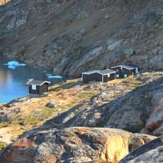
The Sermilik Station, on the sea about an hour's walk from the ice, is the base for research visits; the Nunatak Station sits at 515 m. The glacier's surface is rough, cut by meltwater channels, mill holes and crevasses, which makes walking across it slow. Piteraq winds from the inland ice can exceed 100 km/h.
The glacier's name comes from the nunatak it encircles: Mittivakkat means "breasts" in East Greenlandic. Geologist Keld Milthers gave the then-unnamed ice its name in his 1933 field book, and his photographs later allowed researchers to calculate a 1,283-metre retreat between 1933 and 2010.
The community of curious travelers
AroundUs brings together thousands of curated places, local tips, and hidden gems, enriched daily by 94,418 contributors worldwide.