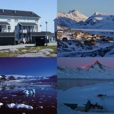
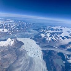
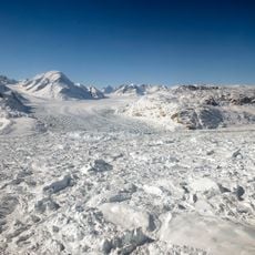
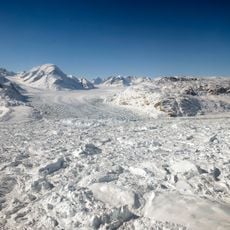
Qalorujoorneq, Mountain summit in Sermersooq, Greenland.
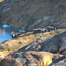
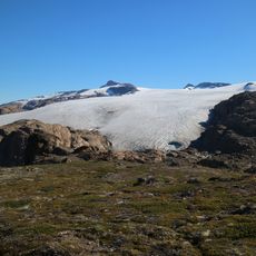
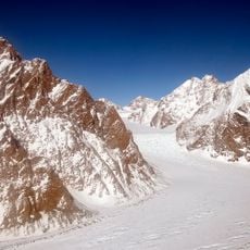
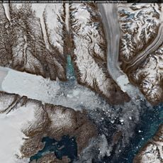
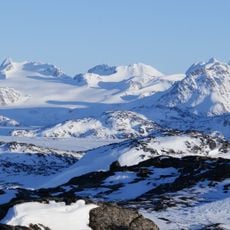
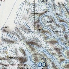
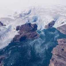
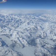
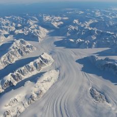
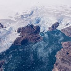
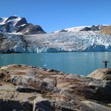
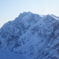
Qalorujoorneq is a mountain summit that rises 676 meters above sea level, with exposed rock formations and steep slopes characteristic of eastern Greenland. The terrain consists of raw, rocky surfaces typical of the mountainous landscape in this region.
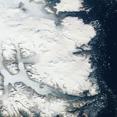
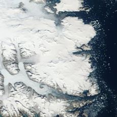
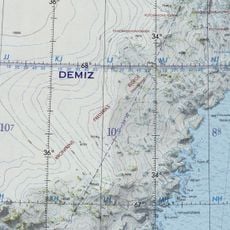
Qalorujoorneq is a small mountain range in the eastern part of Kulusuk Island, not a single peak; its highest point reaches 676 m, the highest on the island. Its walls drop to the North Atlantic on the northeast and east, and a post-glacial cirque below the western wall holds the lake Qalorngoorner Imerarpia. The southeastern ridge carries two named peaks, Saajat (603 m) and Kangeq (280 m).
The name Qalorujoorneq, also written Qalorngoorneq, belongs to the mountain range on Kulusuk Island; its three ridges carry their own names, among them Saajat (603 m) and Kangeq (280 m) on the southeastern ridge. The flat summit ridge and the lake Qalorngoorner Imerarpia below the western wall are the features islanders use to describe the massif.
The easiest ascent is the southwestern ridge, which leads up from the rounded trabants south and southwest of the Qalorngoorner Imerarpia lake. The southern wall is the smallest and simplest to climb, while the northeastern and eastern walls drop straight into the North Atlantic. The summit ridge is nearly flat.
The summit ridge is almost flat, and the northwestern ridge drops from it in a series of trabants, the first and highest a rocky pinnacle, the rest progressively lower and rounder above the central reservoir lake. The southwestern ridge is the easiest route up, ending in rounded trabants south and southwest of Qalorngoorner Imerarpia lake.
The community of curious travelers
AroundUs brings together thousands of curated places, local tips, and hidden gems, enriched daily by 94,018 contributors worldwide.