Enable Location

We need your location to show you interesting places around you

Discover nearby places

Find interesting locations and hidden gems around you

Precise directions

Get accurate directions and distances to places

Your location is never shared with other users. It's only used when you tap the location button.

Hammeren

Log in to your account

Start exploring — it's free

Trusted by 62,202 travelers worldwide

Continue with Google
Continue with Apple
or

We will send you a code to connect

By continuing, you accept our Terms and Conditions and our Privacy Policy

Check your inbox

We've sent a pincode in your inbox. Please enter the code below.

Hammeren

Hammeren, Protected area in Bornholm, Denmark

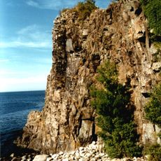
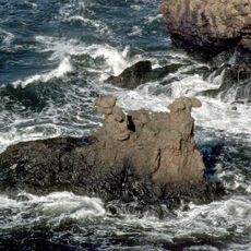
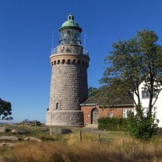
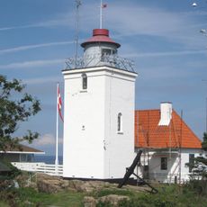
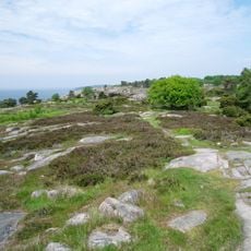
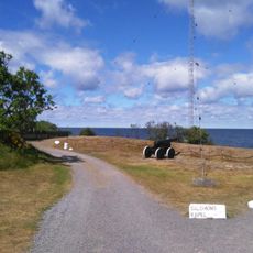
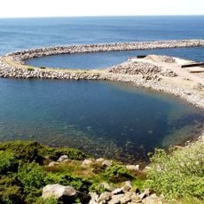
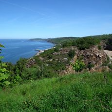
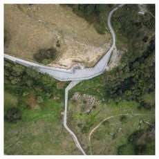
Hammeren extends into the Baltic Sea at the northernmost point of Bornholm island, featuring granite cliffs that rise 84 meters (276 feet) above sea level. The area is crisscrossed by walking paths that lead to a lighthouse at the northern tip.

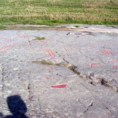
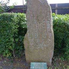
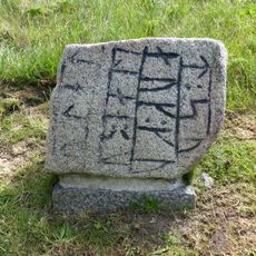
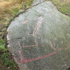
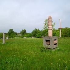
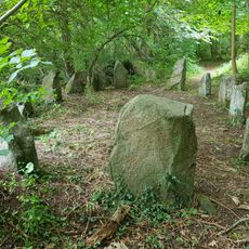
The area holds numerous Bronze Age rock carvings near Madsebakke and Hammersholm, revealing early human settlements and their spiritual beliefs. These ancient engravings demonstrate how people expressed their religious ideas through carved stone.

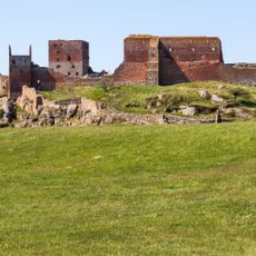
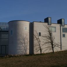
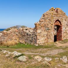
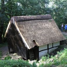
Salomons Chapel, built in the early 1300s, was a central trading point linking Bornholm to Hanseatic cities like Hamburg. Visitors can still see remnants of these medieval trade routes reflected in the local landscape.

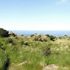
The area is accessible throughout most seasons, with walking paths best explored on foot from Sandvig to the lighthouse. Visitors should wear sturdy footwear and prepare for coastal weather conditions, as winds and rough terrain can affect the visit.

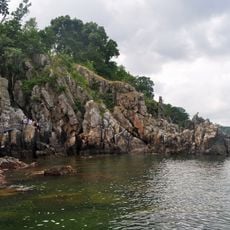
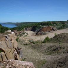
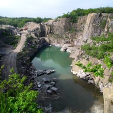
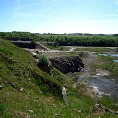
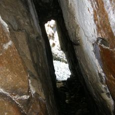
Hammersø is the largest lake on the island and Denmark's only tarn, surrounded by granite formations and cave systems. This natural water body with its distinctive origin stands apart from the rocky coastal surroundings.

The community of curious travelers

AroundUs brings together thousands of curated places, local tips, and hidden gems, enriched daily by 60,000 contributors worldwide.

Start exploring
Inception
1967
GPS coordinates
55.29319,14.77057
Latest update
December 14, 2025 09:46
« Hammeren - Protected area in Bornholm, Denmark » is provided by Around Us (aroundus.com). Images and texts are derived from Wikimedia project under a Creative Commons license. You are allowed to copy, distribute, and modify copies of this page, under the conditions set by the license, as long as this note is clearly visible.

Discover hidden gems everywhere you go!

From secret cafés to breathtaking viewpoints, skip the crowded tourist spots and find places that match your style. Our app makes it easy with voice search, smart filtering, route optimization, and insider tips from travelers worldwide. Download now for the complete mobile experience.

Around Us App Screenshot

A unique approach to discovering new places

Le Figaro

All the places worth exploring

France Info

A tailor-made excursion in just a few clicks

20 Minutes

Around Us
Travel Guide & Maps
Download

Send to your phone

QR Code
1

Open the camera app on your mobile.

2

Point at the QR code with your camera. A notification will appear.

3

Tap the notification to open the link.