
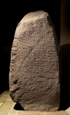
Kamień runiczny z Gørlev, runesten i Gørlev Kirkes våbenhus
Location: Kalundborg Municipality
Part of: The Gørlev Stones
GPS coordinates: 55.53814,11.22648
Latest update: March 3, 2025 09:20
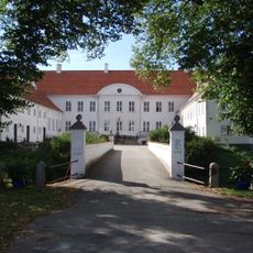
Kragerup
10 km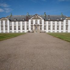
Lerchenborg
15.8 km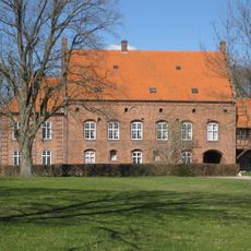
Vedbygård
9.4 km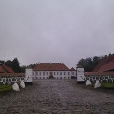
Kattrup
12.2 km
Birkegårdens Haver
14.2 km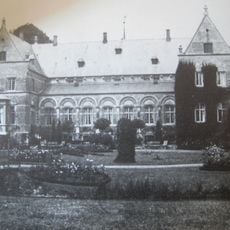
Selchausdal
8.1 km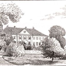
Sæbygård
5.8 km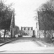
Birkendegård
15.1 km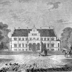
Valbygård
13.4 km
Dønnerup
15.2 km
Astrup Estate
15 km
Frihedslund
7.1 km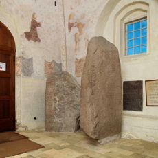
The Gørlev Stones
55 m
Løvegård
8 km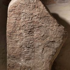
Danmarks runeindskrifter EM85;239
4 m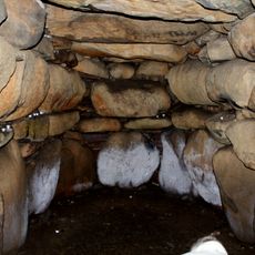
Rævehøj
4.5 km
Kulebjerg Overdrev
13.4 km
Landbomuseet på Birkendegaard
15 km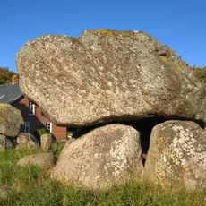
Breddysse
11.7 km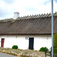
Reersø Museum
7.5 km
Langdysse von Conradineslyst
12.2 km
Fællesfolden
4.8 km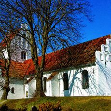
Store Fuglede Church
5.5 km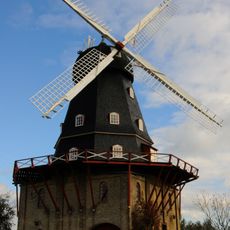
Løve Mølle
7.3 km
Flasken Reersø
4.9 km
Fugledegård ved Tissø
4.4 km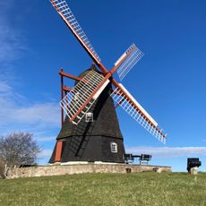
Ubby Mølle
9.2 km
Svallerup lille Mølle
10 kmReviews
Visited this place? Tap the stars to rate it and share your experience / photos with the community! Try now! You can cancel it anytime.
Discover hidden gems everywhere you go!
From secret cafés to breathtaking viewpoints, skip the crowded tourist spots and find places that match your style. Our app makes it easy with voice search, smart filtering, route optimization, and insider tips from travelers worldwide. Download now for the complete mobile experience.

A unique approach to discovering new places❞
— Le Figaro
All the places worth exploring❞
— France Info
A tailor-made excursion in just a few clicks❞
— 20 Minutes