
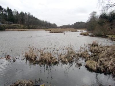
Rio Tange, vattendrag i Danmark
Location: Viborg Municipality
GPS coordinates: 56.34990,9.57777
Latest update: November 3, 2025 18:37
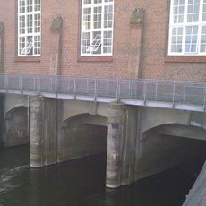
Tangevaerket Dam
1.6 km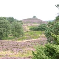
Ø Bakker
12.5 km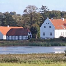
Vinderslevholm
12.2 km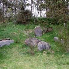
Fællesskabets Mindelund af 1969
8.1 km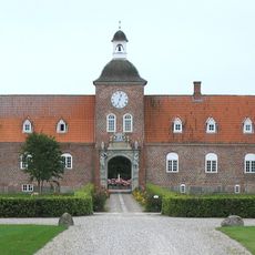
Ulstrup Castle
14.1 km
Energimuseet
1.7 km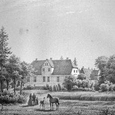
Aunsbjerg
10.5 km
Nørgaards Højskole
5.1 km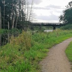
Trækstien
14.1 km
Mammen find
6.4 km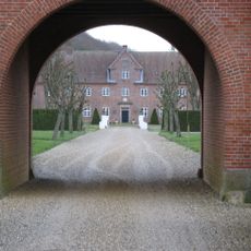
Palstrup
4.9 km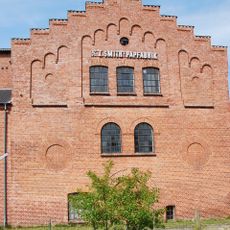
Bruunshaab Gamle Papfabrik
11.5 km
Lysgård Herred
13.5 km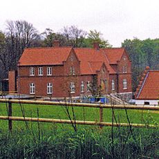
Ormstrup
4.9 km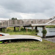
Kjællinghøl-broen
7.9 km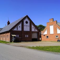
Alling Skovgård
10.4 km
Houlbjerg Herred
9.8 km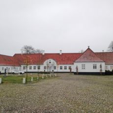
Viskum
11.2 km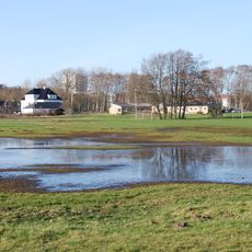
Sønæs
14.4 km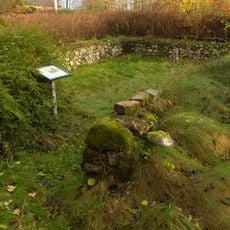
Erik Glippings jagthus
8.5 km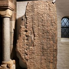
Bjerring stone
4.3 km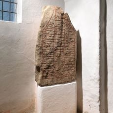
Asmild Runestone
14.3 km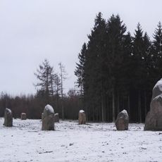
Schiffssetzung von Vejerslev
8.2 km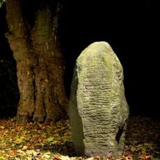
Hjermind runestone
8.2 km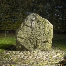
Sønder Vinge-stenen 1
14.1 km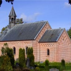
Brandstrup Church
4.6 km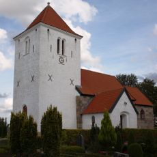
Vium Church
12.8 km
Levring Church
8.3 kmReviews
Visited this place? Tap the stars to rate it and share your experience / photos with the community! Try now! You can cancel it anytime.
Discover hidden gems everywhere you go!
From secret cafés to breathtaking viewpoints, skip the crowded tourist spots and find places that match your style. Our app makes it easy with voice search, smart filtering, route optimization, and insider tips from travelers worldwide. Download now for the complete mobile experience.

A unique approach to discovering new places❞
— Le Figaro
All the places worth exploring❞
— France Info
A tailor-made excursion in just a few clicks❞
— 20 Minutes