
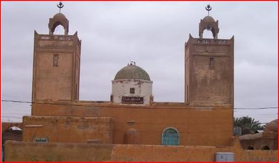
Guemar, town in El Oued Province, Algeria
Location: Guemar District
Elevation above the sea: 63 m
Shares border with: Hamraia
GPS coordinates: 33.49197,6.79719
Latest update: March 15, 2025 21:29
Tozeur
130 km
Gemellae
173.3 km
Sidi Okba Mosque
162.6 km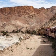
Lézard rouge
172.6 km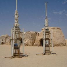
Onk Jmel
111.8 km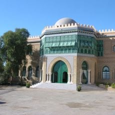
Dar Cherait Museum
131.2 km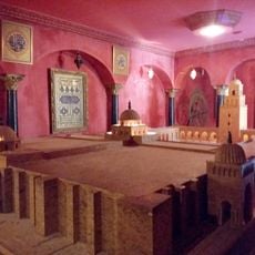
Chak Wak
133.4 km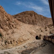
Selja Gorges
172.7 km
Dghoumes National Park
171.1 km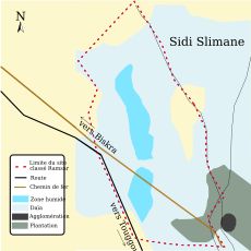
Chott Sidi Slimane
70.1 km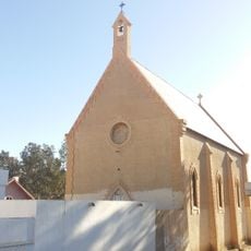
Saint Paul Church (Redeyef)
159.5 km
Bled El Hadhar Mosque
132.3 km
شط الفرانيق
163.7 km
Chebika oasis
140.3 km
Gouri park
19.2 km
Lars homestead
99 km
Parc zoologique de Robbah
24.6 km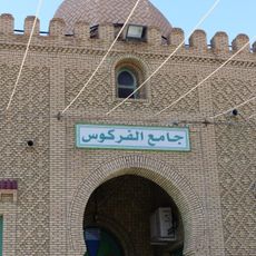
Farkous mosque
132.8 km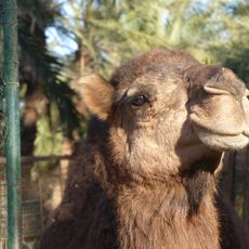
Sahara Zoo
131.9 km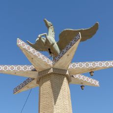
Winged horse statue
131.7 km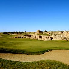
Golf course Tozeur
130 km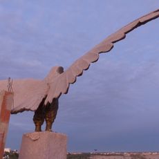
Eagle statue
130.6 km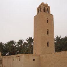
Minaret of the Ouled Majed Mosque
145.1 km
Sidi Aabid Mosque
133 km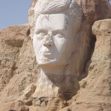
Relief of Abou el Kacem Chebbi
130.6 km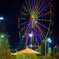
Messaoudi Park
85.3 km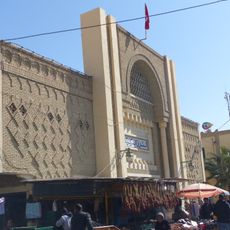
Tozeur market hall
132.9 km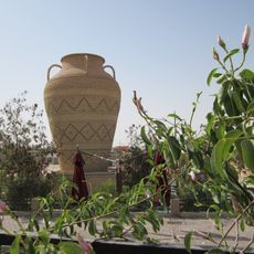
Giant jar
131.2 kmReviews
Visited this place? Tap the stars to rate it and share your experience / photos with the community! Try now! You can cancel it anytime.
Discover hidden gems everywhere you go!
From secret cafés to breathtaking viewpoints, skip the crowded tourist spots and find places that match your style. Our app makes it easy with voice search, smart filtering, route optimization, and insider tips from travelers worldwide. Download now for the complete mobile experience.

A unique approach to discovering new places❞
— Le Figaro
All the places worth exploring❞
— France Info
A tailor-made excursion in just a few clicks❞
— 20 Minutes