
Hammamet, Tébessa, commune and town in Tébessa Province, Algeria
Location: Bir Mokadem District
Elevation above the sea: 878 m
GPS coordinates: 35.44833,7.95306
Latest update: March 6, 2025 14:57

Al Kaf
95.6 km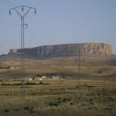
Jugurtha Tableland
50.8 km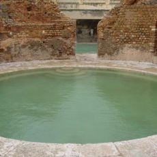
Hammam Essalihine
78.8 km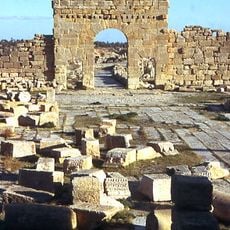
Madauros
70.2 km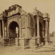
Theveste
15.8 km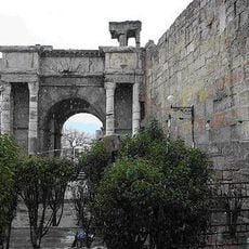
Arch of Caracalla
16.2 km
Khamissa
87.2 km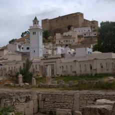
Sicca
105.4 km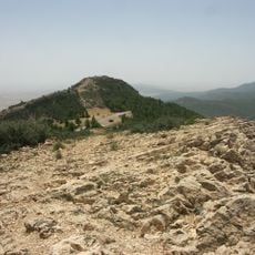
Chambi National Park
73.7 km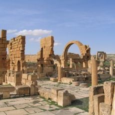
Haïdra
47.8 km
Altiburo
89 km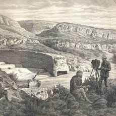
Kasserine Dam
83.2 km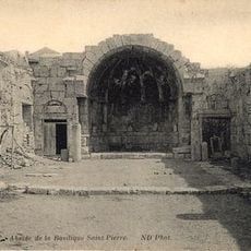
Basilique Saint-Pierre du Kef
106.5 km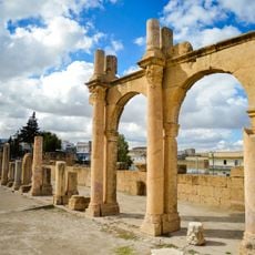
Tebessa Basilica
16.4 km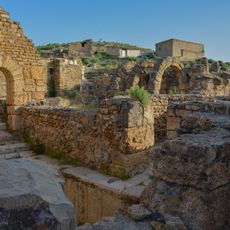
Mellegue Hammam
99 km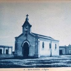
Ebba Ksour church
96.3 km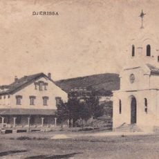
Saint Barbara Church (Jerissa)
75.5 km
Theatre of Kasserine
83 km
Flavii Mausoleum
82.6 km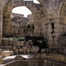
Édifice dit Dar El Djir
106.3 km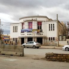
Cinéma Maghreb
15.9 km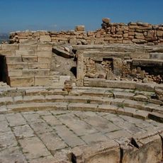
Roman Theatre of Madauros
70.2 km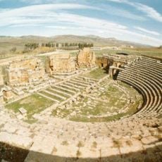
Roman Theatre of Thubursicum Numidarum
87.2 km
Ancient Roman thermae in Le Kef
106.3 km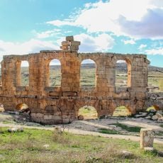
Theatre of Althiburos
88.9 km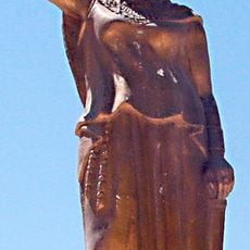
Statue of Dihya
76.4 km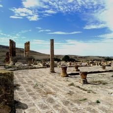
Forum
89 km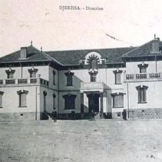
Siège de la société Jabel Ejrissa
75.4 kmReviews
Visited this place? Tap the stars to rate it and share your experience / photos with the community! Try now! You can cancel it anytime.
Discover hidden gems everywhere you go!
From secret cafés to breathtaking viewpoints, skip the crowded tourist spots and find places that match your style. Our app makes it easy with voice search, smart filtering, route optimization, and insider tips from travelers worldwide. Download now for the complete mobile experience.

A unique approach to discovering new places❞
— Le Figaro
All the places worth exploring❞
— France Info
A tailor-made excursion in just a few clicks❞
— 20 Minutes