
Zeribet El Oued, commune d'Algérie
Location: Zeribet El Oued District
GPS coordinates: 34.68310,6.50228
Latest update: March 7, 2025 23:04
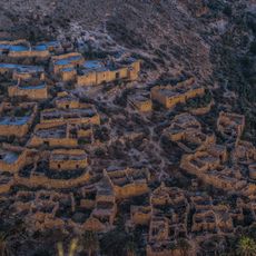
Ghoufi
51 km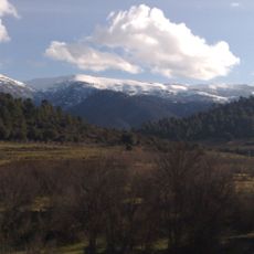
Djebel Chélia
71.8 km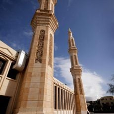
1st November of 1954 Great Mosque
100.8 km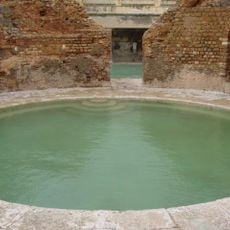
Hammam Essalihine
99.6 km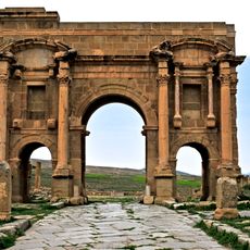
Arch of Trajan
89.3 km
Gemellae
89.8 km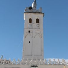
Sidi Okba Mosque
55.6 km
Musée du moudjahid de Batna
97.8 km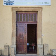
Museum of Archaeological site of Timgad
89.3 km
Roman bridge in El Kantara
95.3 km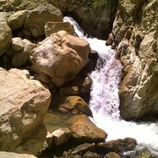
Cascades de Berbaga
76.2 km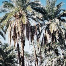
Filiach
70.3 km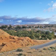
Baniane
55.2 km
Institut régional de formation musicale de Batna
101.1 km
Lapidarium of El Kantara
94.5 km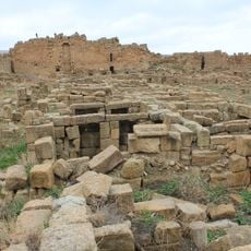
Byzantine Fort in Timgad
88.7 km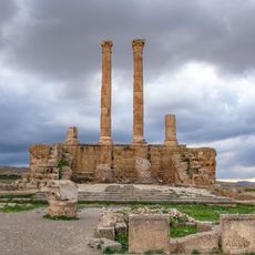
Capitol of Timgad
89.2 km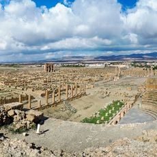
Roman Theatre of Timgad
89.2 km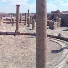
Eastern Market of Timgad
89.3 km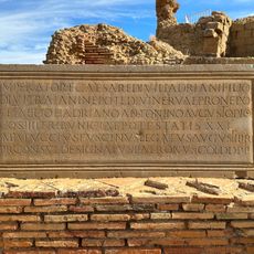
EDCS-27300292
89.3 km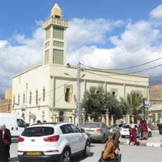
El-Atik mosque of the martyr Tahar Messaouden
101.1 km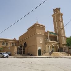
Uthman ibn Affan mosque of Batna
99.9 km
Lambaesis amphitheatre
92.4 km
El Kantara Gorge
95.3 km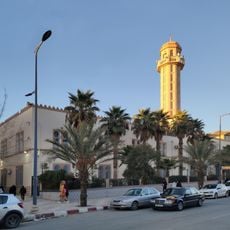
Abdelhamid Ben Badis Mosque (Batna)
101 km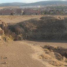
Lambaesis
92.4 km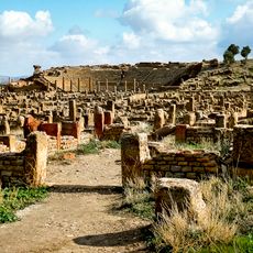
Timgad
89.3 km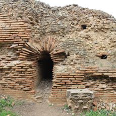
Grand north baths of Timgad
89.6 kmReviews
Visited this place? Tap the stars to rate it and share your experience / photos with the community! Try now! You can cancel it anytime.
Discover hidden gems everywhere you go!
From secret cafés to breathtaking viewpoints, skip the crowded tourist spots and find places that match your style. Our app makes it easy with voice search, smart filtering, route optimization, and insider tips from travelers worldwide. Download now for the complete mobile experience.

A unique approach to discovering new places❞
— Le Figaro
All the places worth exploring❞
— France Info
A tailor-made excursion in just a few clicks❞
— 20 Minutes