
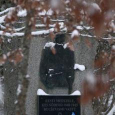
Taara Tammemägi
Location: Rae Rural Municipality
GPS coordinates: 59.33380,24.90905
Latest update: May 24, 2025 22:29
Monument of Lihula
6.5 km
Mõigu
9.8 km
Männiku
11.8 km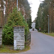
Liiva Cemetery
11.2 km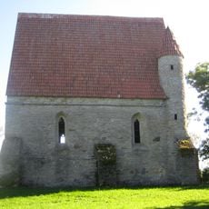
Saha Chapel
10.5 km
Tallinn rear lighthouse
12 km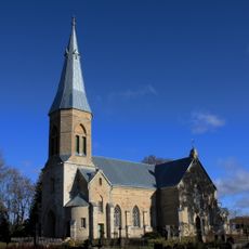
Jüri Church
3 km
Linda kivi
11.7 km
Tallinn Mosque
11.4 km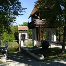
Museum of Fight for Estonia's Freedom
6.4 km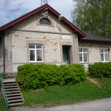
Liiva
12.1 km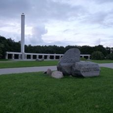
Jüriöö Park
11.6 km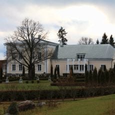
Sausti manor
7.9 km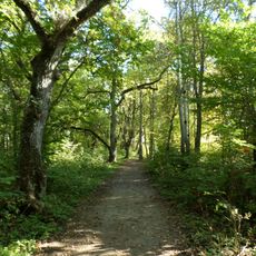
Lehmja oak grove
2.5 km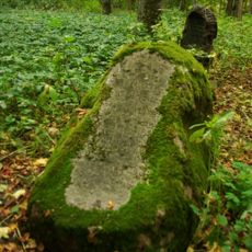
Mõigu cemetery
10.4 km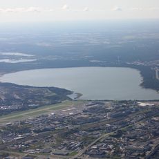
Ülemistejärve
10.8 km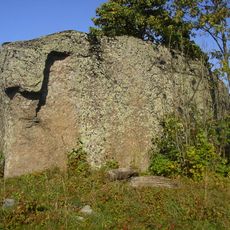
Aruküla Boulder
10.2 km
Jeti Ice Arena
11.2 km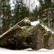
Männiku hiidrahn
10.3 km
Kautjala manor
2.2 km
Ülemiste water treatment plant
12.1 km
Smuuli viaduct
10.5 km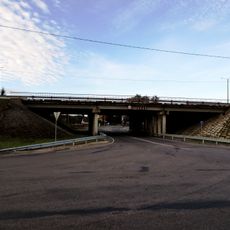
Assaku viadukt
6.2 km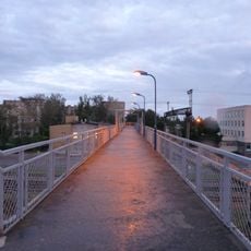
Ülemiste pedestrian bridge
11.2 km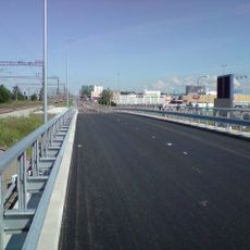
Ülemiste viadukt
12.1 km
Kivi talu
2.1 km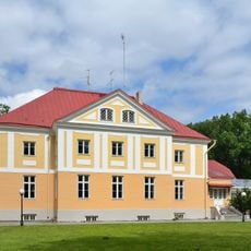
Maardu manor house
12.3 km
Maardu mõisa park
12.2 kmReviews
Visited this place? Tap the stars to rate it and share your experience / photos with the community! Try now! You can cancel it anytime.
Discover hidden gems everywhere you go!
From secret cafés to breathtaking viewpoints, skip the crowded tourist spots and find places that match your style. Our app makes it easy with voice search, smart filtering, route optimization, and insider tips from travelers worldwide. Download now for the complete mobile experience.

A unique approach to discovering new places❞
— Le Figaro
All the places worth exploring❞
— France Info
A tailor-made excursion in just a few clicks❞
— 20 Minutes