
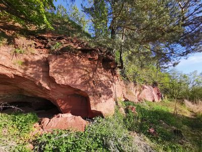
Tamme Outcrop, outcrop in Estonia
Location: Elva Rural Municipality
GPS coordinates: 58.28536,26.14157
Latest update: March 5, 2025 22:39
Tarvastu Castle
15.5 km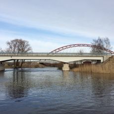
Rannu-Jõesuu bridge
11.1 km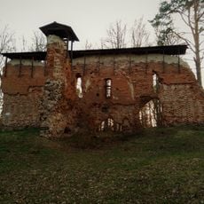
Rõngu Castle
15.4 km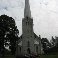
Tarvastu Church
16.2 km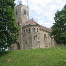
Rõngu Church
16.9 km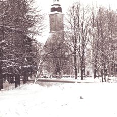
Puhja Church
11.7 km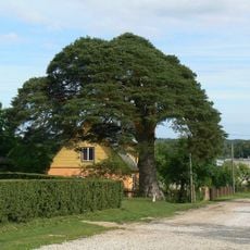
Arbimäe mänd
17.2 km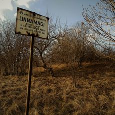
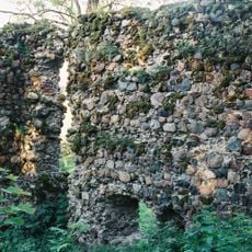
Kavilda stronghold
14.4 km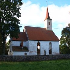
Rannu Church
2.2 km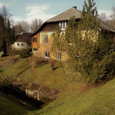
Rannu Castle
6.9 km
Keeri-Karijärve Nature Reserve
17.1 km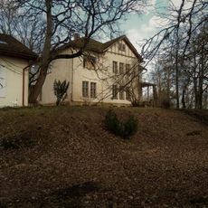
Kongutas pils
11 km
Elva Song Festival Grounds
17 km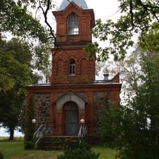
Rannu Orthodox Church
4.9 km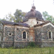
Kavilda orthodox church
14.1 km
Erumäe linnamägi
10.7 km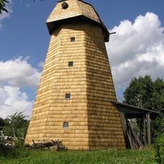
Koni tuulik
12.2 km
Kivilõppe Kalevipoja kivi
11.3 km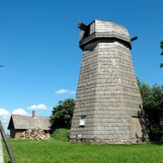
Tamme tuuleveski
1.4 km
Alt-Laari linnamägi
10.7 km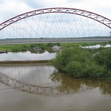
Jõesuu bridge
11.2 km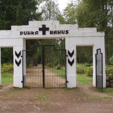
Rannu cemetery
4.1 km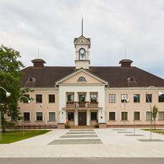
Elva raekoda
17.6 km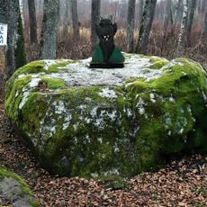
Vanapagana kivi
11.3 km
Leie Library
16.5 km
Koruste Library
16.9 km
Väluste Library
15.6 km
Suure-Konguta manor house
11 kmReviews
Visited this place? Tap the stars to rate it and share your experience / photos with the community! Try now! You can cancel it anytime.
Discover hidden gems everywhere you go!
From secret cafés to breathtaking viewpoints, skip the crowded tourist spots and find places that match your style. Our app makes it easy with voice search, smart filtering, route optimization, and insider tips from travelers worldwide. Download now for the complete mobile experience.

A unique approach to discovering new places❞
— Le Figaro
All the places worth exploring❞
— France Info
A tailor-made excursion in just a few clicks❞
— 20 Minutes