
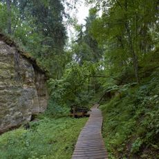
Haki Kuntsamägi
Location: Rõuge Rural Municipality
GPS coordinates: 57.67117,26.96727
Latest update: March 9, 2025 10:07
Haanja Nature Park
6.4 km
Rõuge Watchtower
6.5 km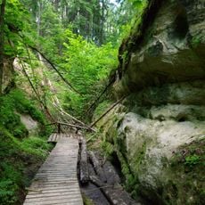
Hinni Valley
11.6 km
Druskās
9.3 km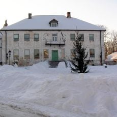
Rogosi manor
8 km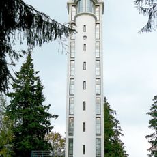
Suur Munamägi Tower
7.2 km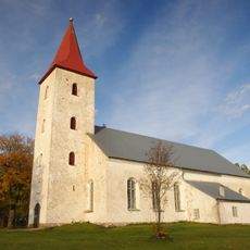
Rõuge Church
7.1 km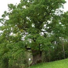
Mustahamba tamm
3.9 km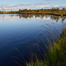
Luhasoo Nature Park
4.6 km
Rõuge linnamägi
6.7 km
Sänna mäeveski
12.6 km
Korneti-Peļļi
9.8 km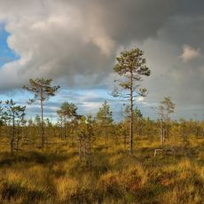
Luhasoo Nature Reserve
4.6 km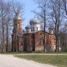
Plaani Orthodox Church
6.9 km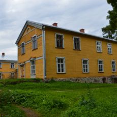
Sänna manor house
13.5 km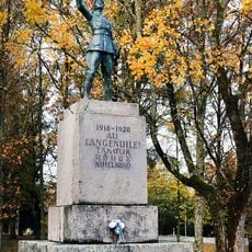
Monument to the War of Independence in Rõuge
7.1 km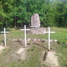
Vabadussõjas hukkunud tundmatu sõduri haud mälestussambaga
9.7 km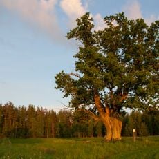
Ruuga tamm
6.1 km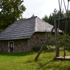
Nursi magasiait
12.9 km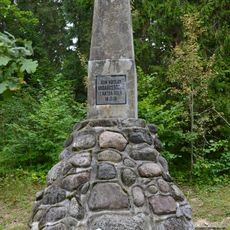
Munamäe lahingu mälestussammas
7.1 km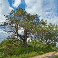
Kadeni mänd
5.3 km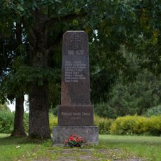
Sänna lahingu mälestussammas
13.5 km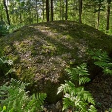
Hinnimäe rändrahn
7.8 km
Veclaicene protected landscape area
13 km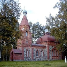
Orthodox church of the Intercession of Our Lady in Veclaicene
11.2 km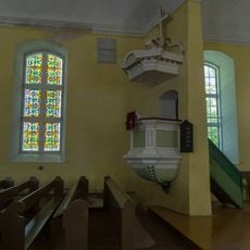
Kancele
14 km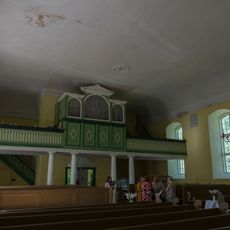
Ērģeles
14 km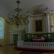
Altāris
14 kmReviews
Visited this place? Tap the stars to rate it and share your experience / photos with the community! Try now! You can cancel it anytime.
Discover hidden gems everywhere you go!
From secret cafés to breathtaking viewpoints, skip the crowded tourist spots and find places that match your style. Our app makes it easy with voice search, smart filtering, route optimization, and insider tips from travelers worldwide. Download now for the complete mobile experience.

A unique approach to discovering new places❞
— Le Figaro
All the places worth exploring❞
— France Info
A tailor-made excursion in just a few clicks❞
— 20 Minutes