Humala ohvrikivi
Location: Harku Rural Municipality
GPS coordinates: 59.36752,24.42476
Latest update: April 12, 2025 06:17
Keila-Joa Manor
8 km
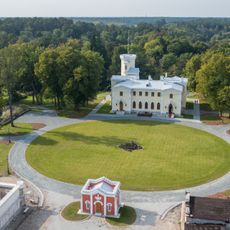
Harku Manor
8.9 km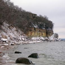
Türisalu Cliff
8.3 km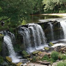
Keila Waterfall
8 km
Vääna Manor
2.4 km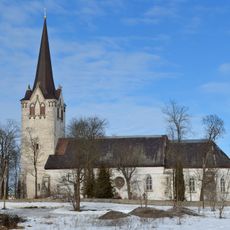
Keila Church
6.7 km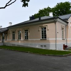
Hüüru manor
6.5 km
Käesalu manor
6.9 km
Kumna manor
5.1 km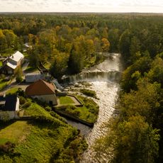
Keila-Joa hydroelectric power station
8 km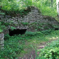
Meremõisa manor
8.5 km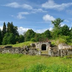
Keila Castle
7.1 km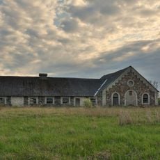
Humala mõis
1.2 km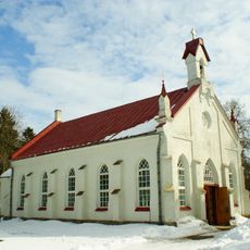
Rannamõisa Church
9 km
Viti manor
8.7 km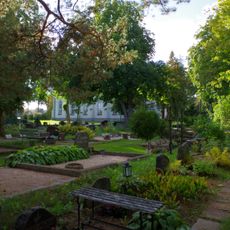
Ranna Churchyard
9.1 km
Harku manor park
9 km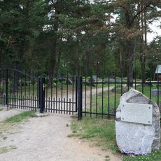
Karjaküla kalmistu
4.8 km
Vääna Castle
2.5 km
Keila elementary school building
6.3 km
Keila Jõepargi Orjakivi
7.2 km
Vääna-Posti kõrts
4.2 km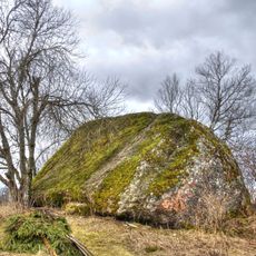
Valingu hiidrahn
7.3 km
Keila Church
6.5 km
Vääna Library
2.4 km
Vääna Sinkhole
2.9 km
Harku manor house
8.9 km
Kumna manor house
5 kmReviews
Visited this place? Tap the stars to rate it and share your experience / photos with the community! Try now! You can cancel it anytime.
Discover hidden gems everywhere you go!
From secret cafés to breathtaking viewpoints, skip the crowded tourist spots and find places that match your style. Our app makes it easy with voice search, smart filtering, route optimization, and insider tips from travelers worldwide. Download now for the complete mobile experience.

A unique approach to discovering new places❞
— Le Figaro
All the places worth exploring❞
— France Info
A tailor-made excursion in just a few clicks❞
— 20 Minutes